Design a sustainable planet, together
Join our network of farmers, farm advisors, land agents, estate managers, ecologists,
foresters, surveyors, and landscape recovery projects.
Intuitive mapping, collaboration and insight
Streamline your workflows with The Land App’s state-of-the-art features.
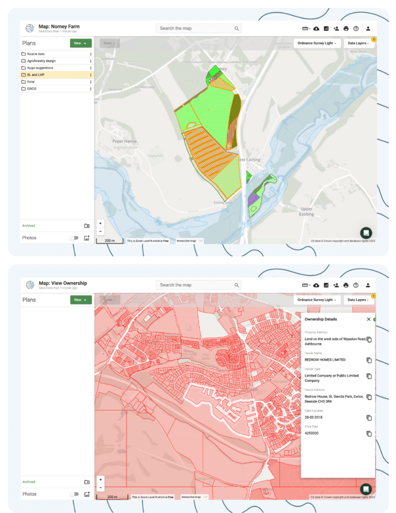
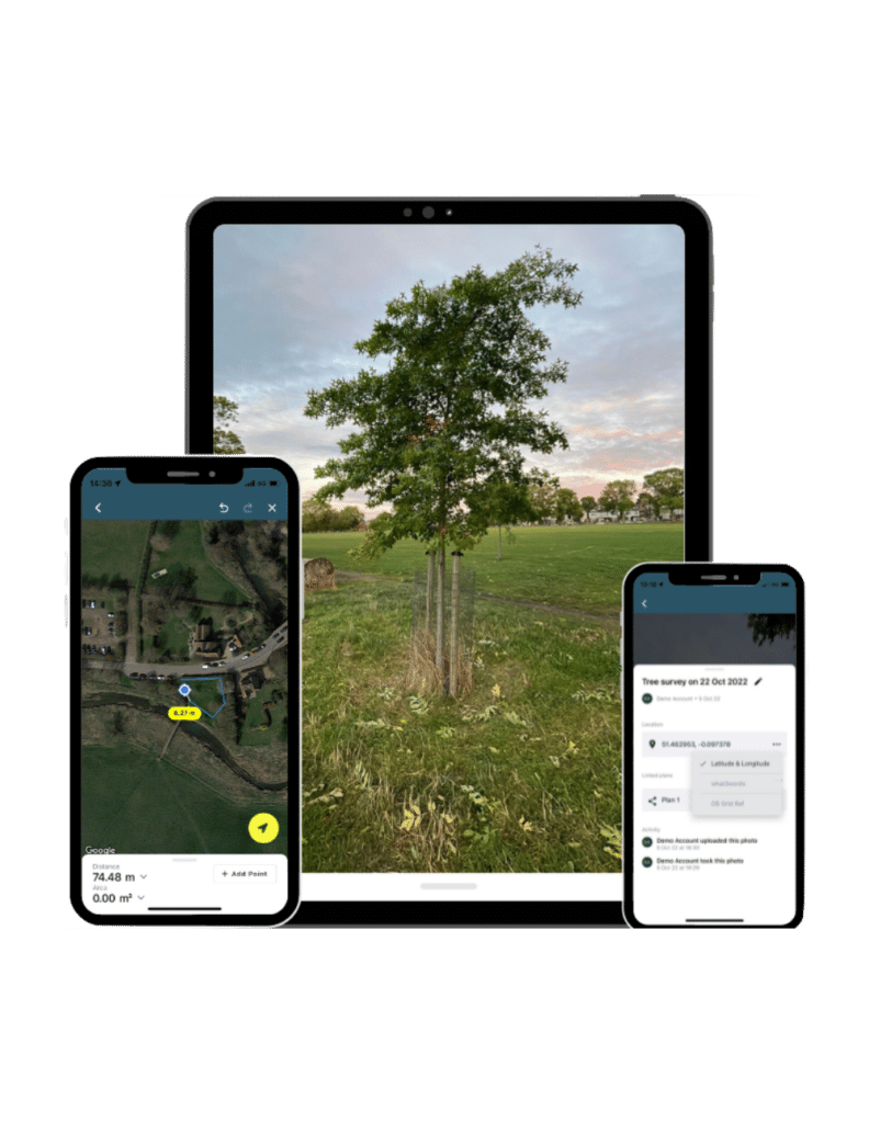
- Effortless mapping technology
- Instant data reports
- Fast growing library of visual data layers
- Insightful land and habitat metrics
- Official government templates
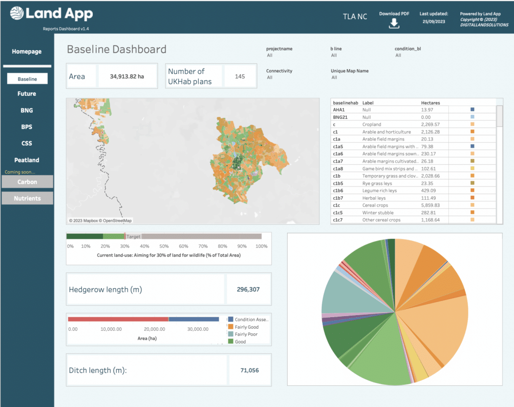
- Authoritative datasets on-demand (OS MasterMap)
- Industry-leading data security
Trusted by leading land, conservation and infrastructure professionals across the UK.
Our Mapping Services
Your goals are our goals
Our Mapping Service is designed to support you during every step of your Land App journey. Let us do the leg work so that you can enjoy the results, stress-free. Whatever your request, our in-house mappers will get it done.
Our Training
Get started or level up on Land App
Whether it’s team training to kick-start your project or 1:1 guidance taking your skills to the next level, our bespoke, hands-on training sessions will make sure that you’re getting the most out of Land App.
the land app is a tool powered by you
Our Partners
Our Data Providers
A data-secure way to work digitally
- Own your data
- Cloud-based access
- Live team collaboration
- Data encryption protection