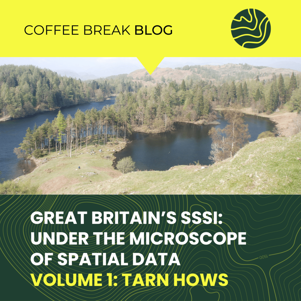
Great Britain’s SSSI’s: Under the Microscope of Spatial Data – Tarn Hows
In this coffee blog series, we’ll be traveling around the Land App map using spatial data to shine a light on some of Great Britain’s most influential SSSIs.

In this coffee blog series, we’ll be traveling around the Land App map using spatial data to shine a light on some of Great Britain’s most influential SSSIs.
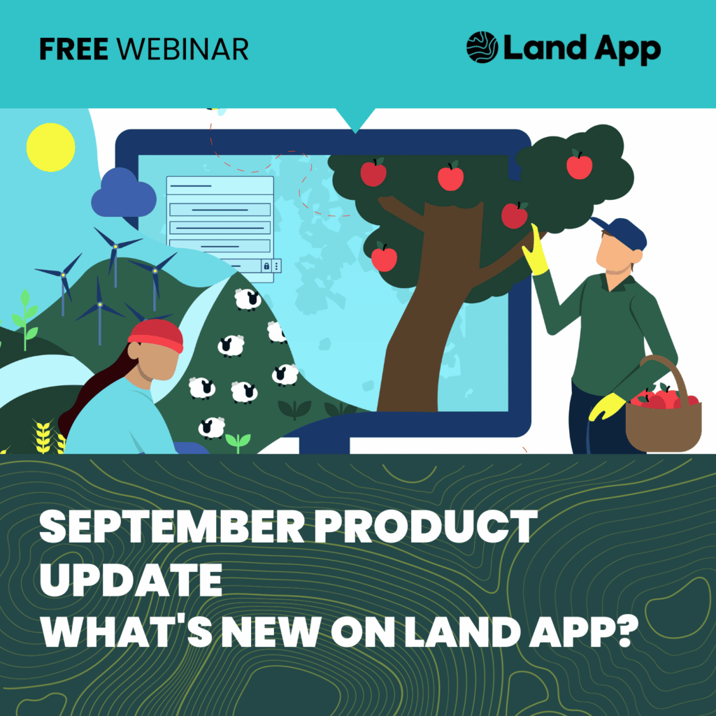
We’ve made some exciting changes to Land App over the summer and we want to share them with you. If you’re a regular Land App user, this session will add value by explaining how you can best utilise some of the user experience changes you’ll notice on our platform. If you’re new to the Land …
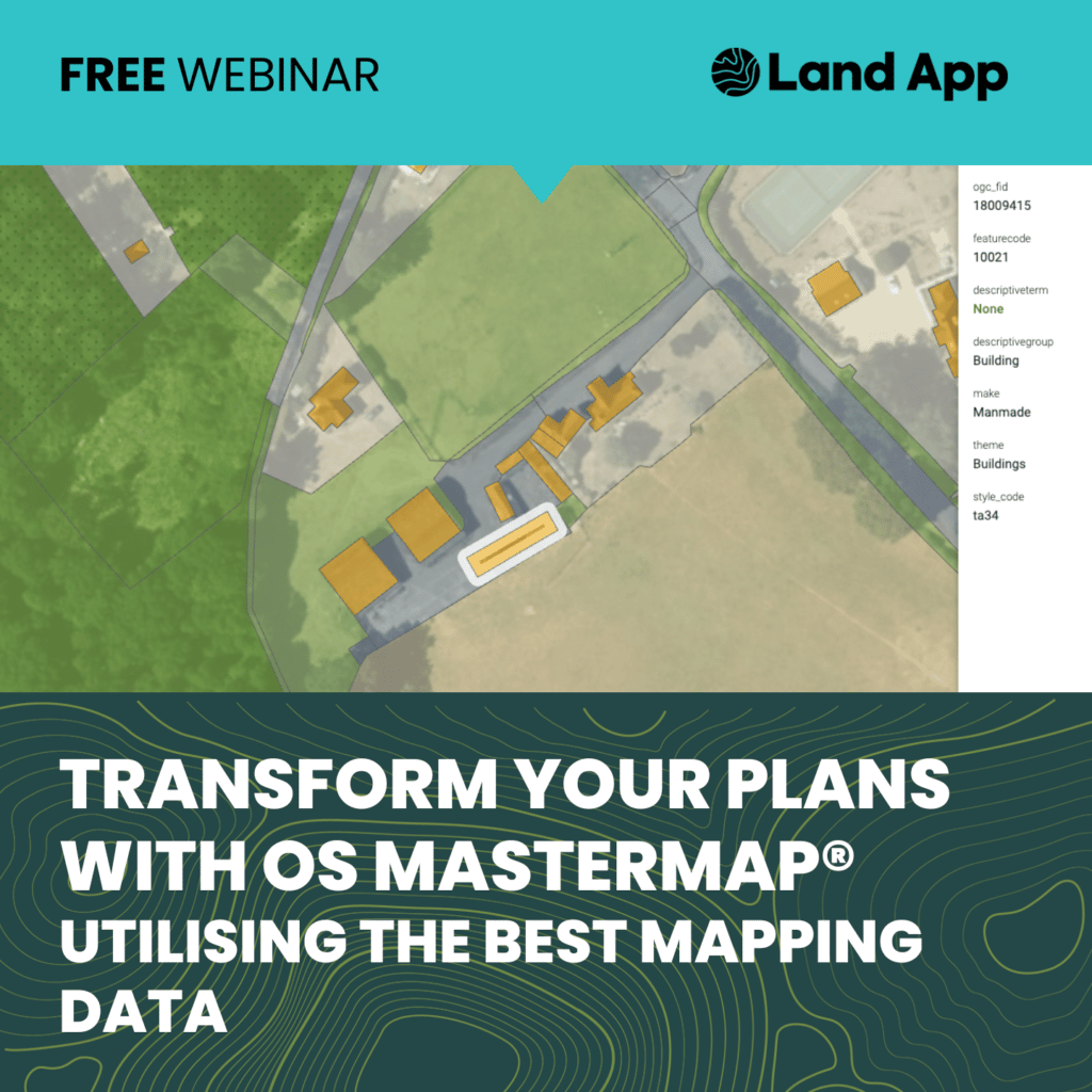
Land App are hosting an hour-long, free webinar exploring the many benefits of mapping with OS MasterMap® on the Friday 30th September at 1pm.
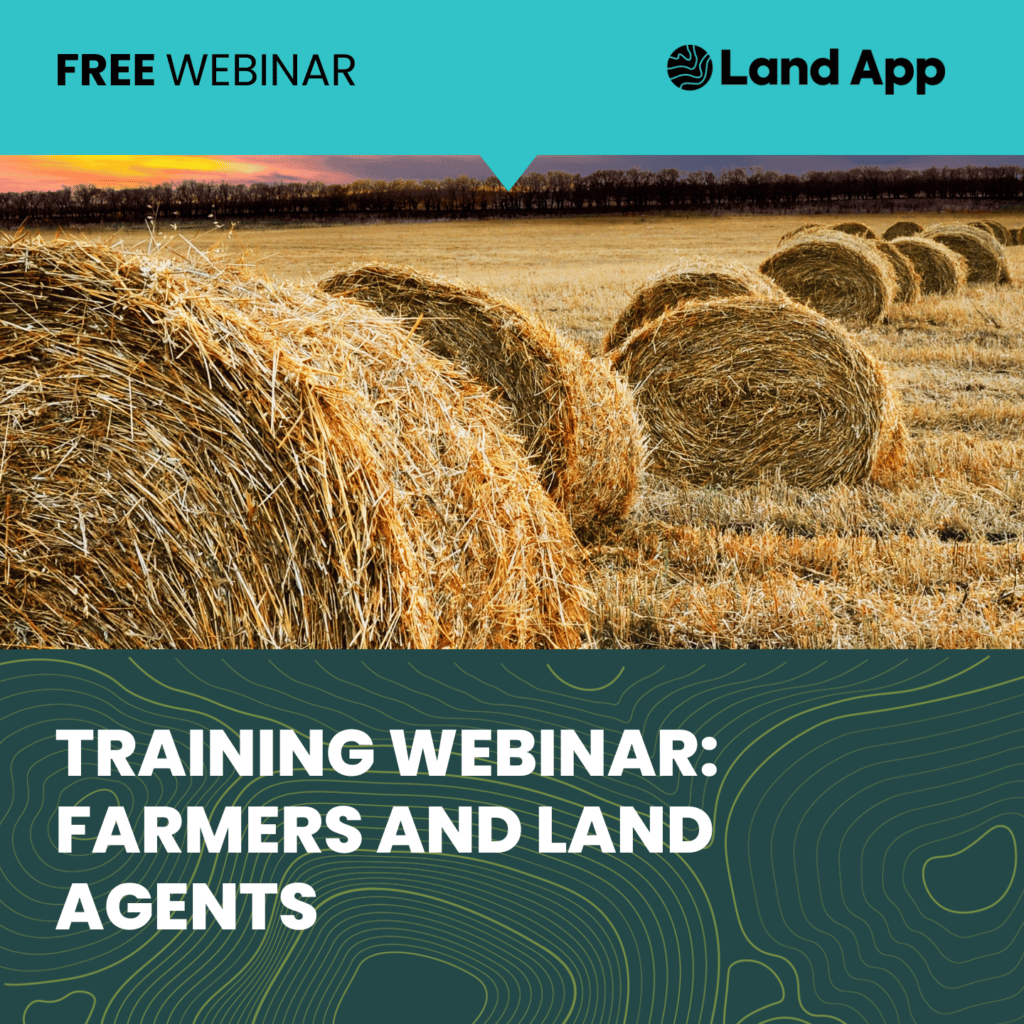
Want to unlock the full potential of the Land App platform? Join us for this free, hour-long training webinar tailored specifically toward Farmers and Land Agents. We’ll take you on a step-by-step guide from the creation of your first land management plan, to supporting your local nature recovery strategy. Land App empowers you with the …
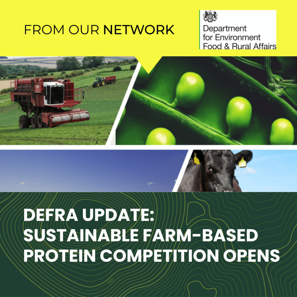
The development of products such as methane reducing animal feeds and high protein crops has received a boost today (Monday 25 July) with Defra opening a £12.5m competition to support research and innovation. Farmers, growers, foresters, businesses and researchers are invited to apply with projects to help increase domestic production of healthy and sustainable protein. …
Sustainable farm-based protein competition opens Read More »
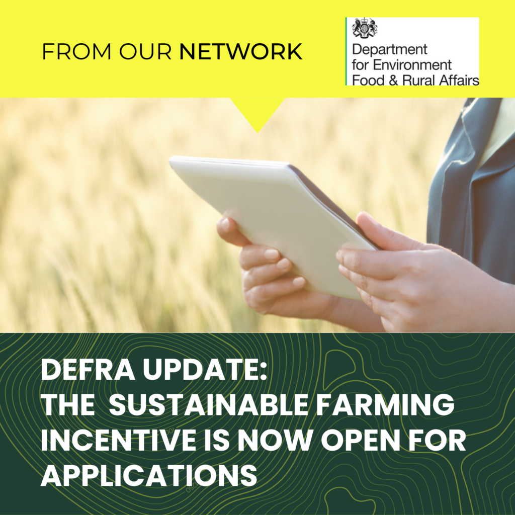
The Sustainable Farming Incentive has now opened for applications in England and is available to all BPS-eligible farmers. It is designed to be accessible and will reward sustainable practices that support food production and benefit the environment.
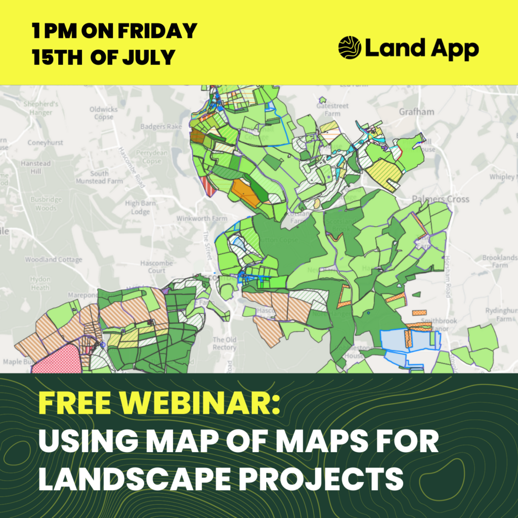
Join us at 1 pm on the 15th of July for a free, hour-long Map of Maps Webinar:
In this interactive webinar, we will be taking you on the Map of Maps journey, our new functionality for facilitating and coordinating projects across a catchment, region or landscape.
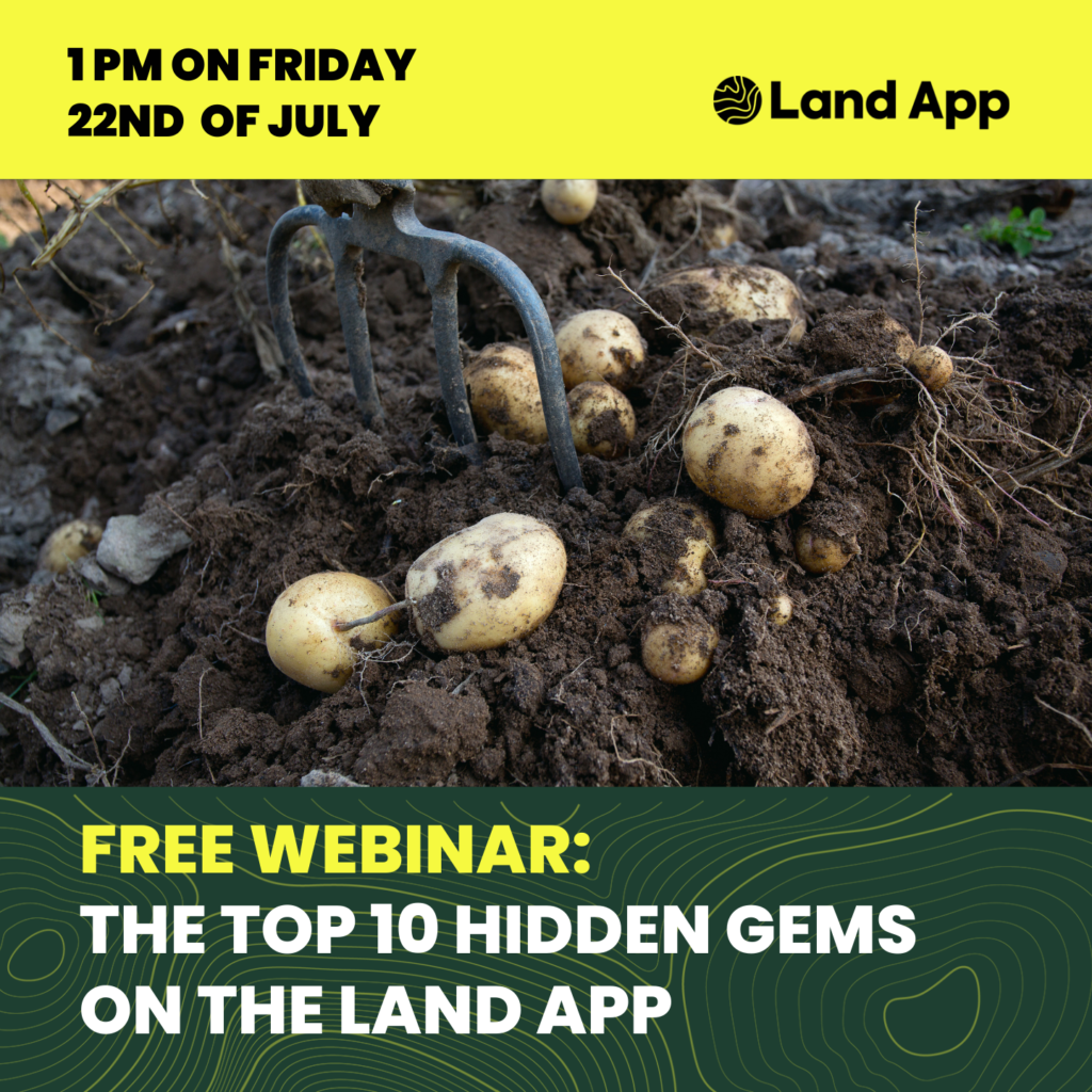
In this interactive webinar, we will be highlighting 10 lesser-known functionalities that may speed up and improve your Land App mapping projects.
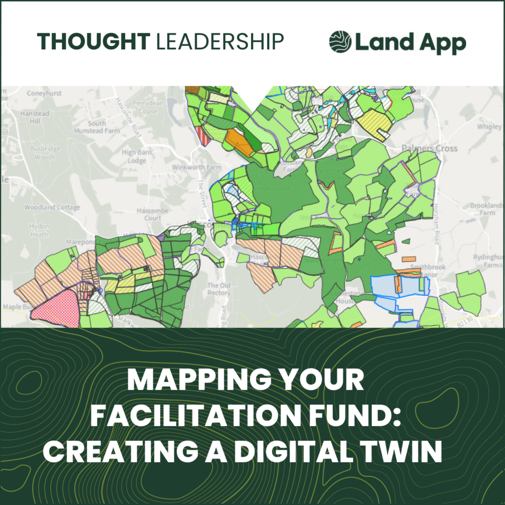
Land App provides facilitation groups with key digital mapping and spatial analysis, preparing the group for financial support
This online Conference examines the role of the farm environment adviser and its role in line with emerging policies, priorities and funding.