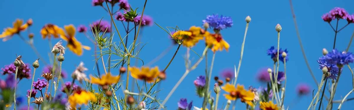
Enhance your service whilst delivering biodiversity net gain
Ecologists play a crucial role in the prevention of species decline and the restoration of biodiversity.
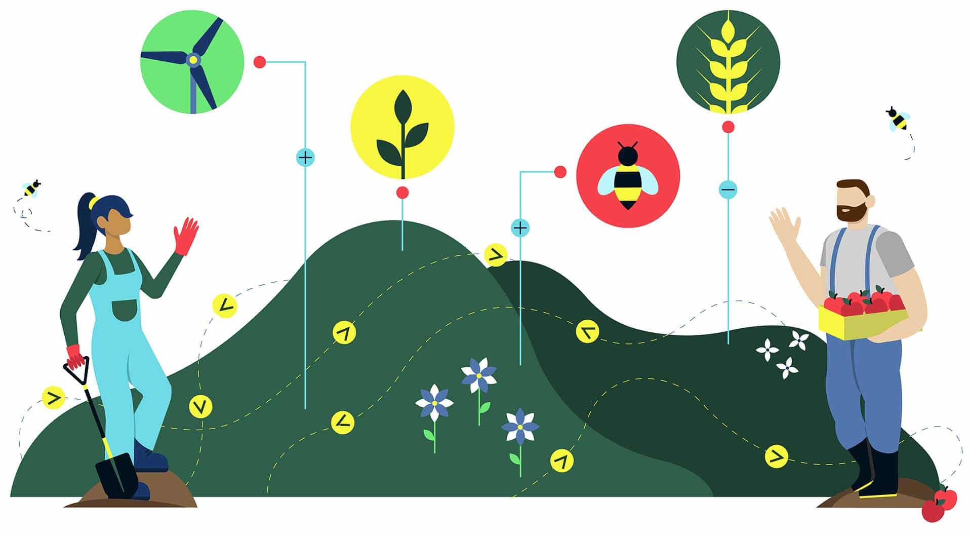
But to fulfil a harmonious future for our natural world, you need a toolkit that’s designed to fulfil those aims. The Land App is a state-of-the-art mapping platform that upgrades your workflow and boosts collaboration.
"The Land App has helped us enormously with how we map and manage project data at Cheshire Wildlife Trust. It has enabled us to share data with each other at the click of a button. Our staff always say how easy the product is to use. I can’t recommend it highly enough."
Ben Gregory, Cheshire Wildlife TrustDirector of Operations
“When preparing for Biodiversity Net Gain and natural capital – and having access to all-encompassing mapping data means we can accurately ‘baseline’ sites with the UK Habitat Classification, ensuring our clients make the best business decisions.”
Harrison Anton, CLMFarm & Environment Assistant
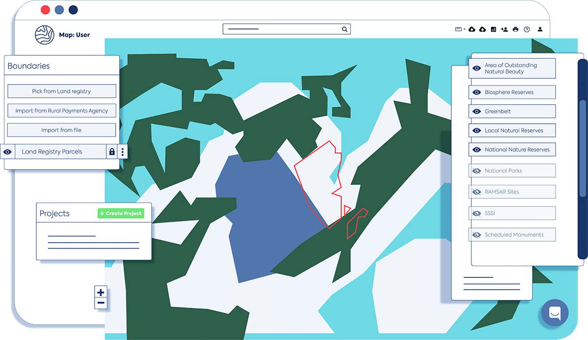
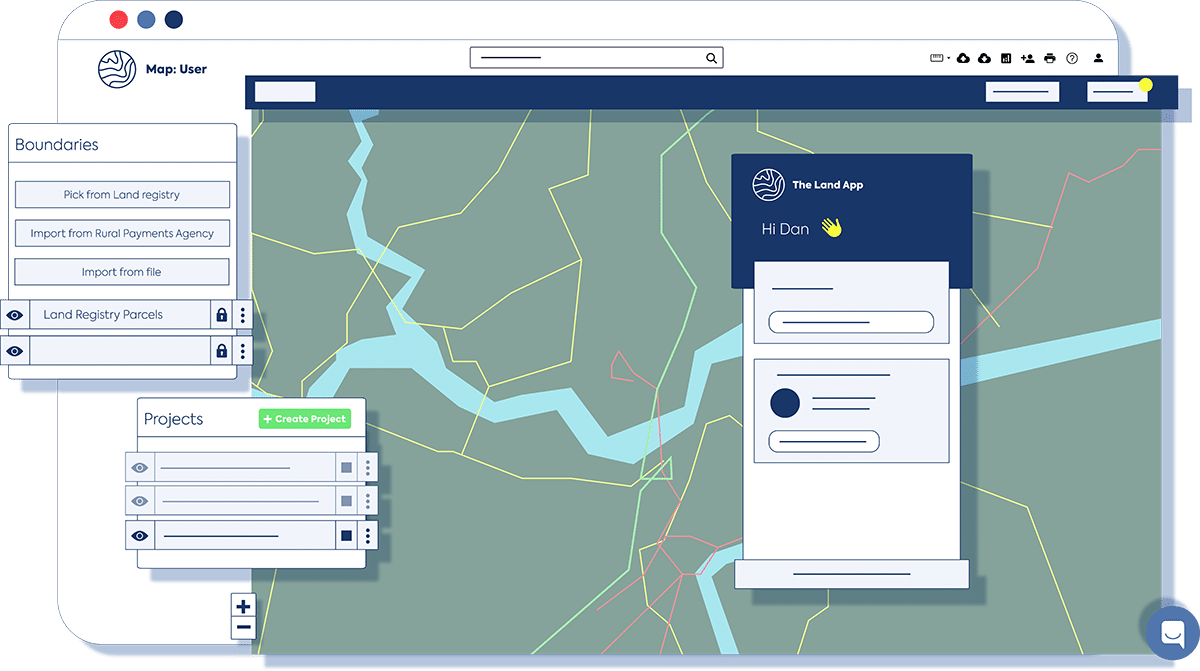
Unlock the power of GIS
Now that UK Environmental Bill amendments are in place, the scale and speed of the task ahead demand the right tools.
Our sophisticated mapping software can prepare a sitemap for you, and provide you with the UK Habitat Classification data you need for biodiversity offsetting, so you can focus your time and energy where it matters most.
A resource designed to support local and national goals
Take collaboration up a level
Gather decision-makers around one data-rich map and see enough detail to make a one year, five year or 50 year plan for an area. Using our hub of authoritative data, you can ensure compliance, scan for wildlife recovery opportunities and decide on the best course with greater certainty.
Templates, automation and efficiency
Leave inefficiency behind with digital habitat templates, automatic calculations and geospatial data. Designed for ecologist use, our sophisticated map cuts no corners while drastically improving the speed and efficiency of your work.
Get click-of-a-button insight
The Land App is a central hub for multiple sources of data, including Ordnance Survey data for biodiversity offsetting. With a growing library of data layers viewable on our interactive map or at the table view, you’ll find it easy to make assessments and key calculations.
Prepare for biodiversity net gain
Register all prospective sites for the delivery of biodiversity net gain with a sophisticated and flexible toolkit – including drawing tools and authoritative data layers – so you can quickly map sites and design rewilding strategies.