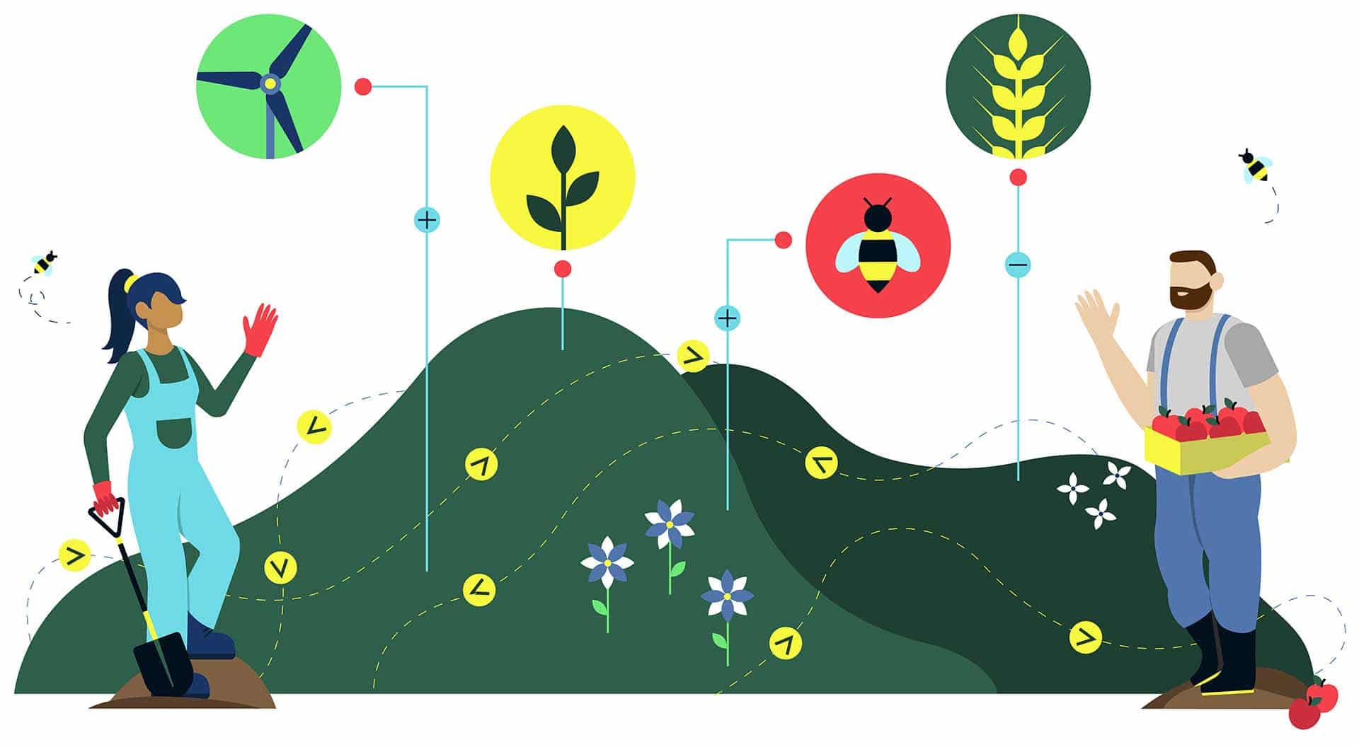
To deliver environmental uplift across a landscape.
The Land App puts the data you need at your fingertips, along with live collaboration tools, so that you can facilitate landscape-scale change to design a sustainable future.
"The Land App provides us with an opportunity to encourage landowners and land managers to map their sites and develop a strategy for rewilding. Supporting initiatives such as B-Lines, Nature Recovery Networks through facilitating local groups to connect and work together."
Sara King, Rewilding BritainRewilding Network Lead
"The Land App understands the urgent need for landscape-scale nature recovery to arrest the catastrophic decline in biodiversity. WildEast needed a platform to do this and Land App is peerless in being able to do this and much more– truly the App of Dreams!"
Hugh Somerleyton, WildEastFounder
Prepare for natural capital markets
The future of funding for environmental uplift is changing. Get ahead of the curve and begin baselining your projects and planning ahead with our authoritative UKHab templates.
Consultation is made easy with the Land App. You can collaborate in real time on baseline assessments and build Land Management Plans using a single source of truth, so you can map out a project with your community or apply for funding together.
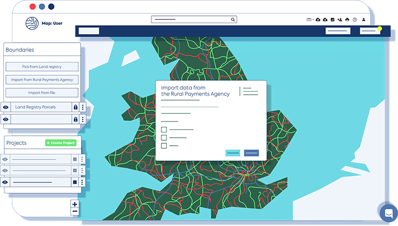
Draw up plans with the data you need
The Land App has over 50 data layers – from National Designations to flood zone areas, public rights of way and heritage data – so you can quickly visualise how best to work together.
View reports on your projects
Use our Map of Maps feature to aggregate a landscape-scale visualisation of your plans. This can then be transformed into a bespoke dashboard for further monitoring and analysis.
Up-skill your group
Our bespoke training sessions enable you to become fluent in the Land App’s capabilities. You’ll also be able to use our in-app messaging service to share insights with each other or directly contact one of the Land App team.