Functions
The data and tools you need
Land App is a live, evolving platform with many more features to come. As of today, you can benefit from many functions across our subscriptions, including: drawing tools, authoritative data layers, project templates, instant reports, Land App Mobile, Map of Maps, printing and much more.
Menu:
Free Functions
Land App is designed to resource some of the best work being done in Britain to create a sustainable financial future for our land, so we choose to offer most of our functionality free of charge.
Free
Drawing Tools
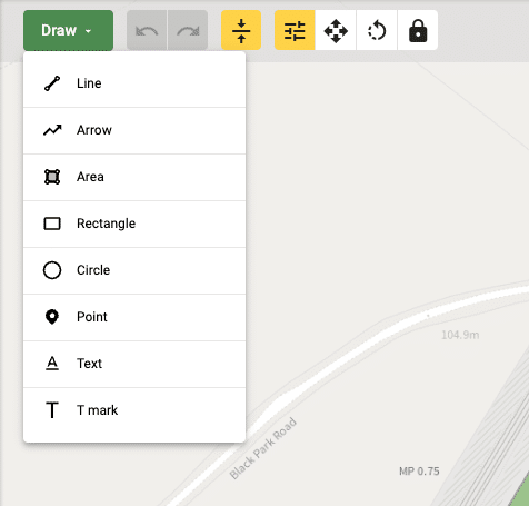
Create and customise your own maps to plan for present and future scenarios
- Switch between aerial imagery and other base maps
- Use Land Registry or RPA field boundaries to see and interact with the boundaries of your land
- Merge and split fields
- Draw buffers, hedges, ponds and more
- Annotate with text, arrows and T-marks
Free
Plan Templates
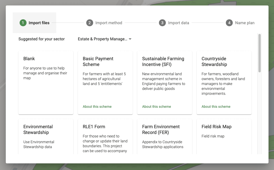
Use pre-populated templates from our library to map out projects, design multiple scenarios, and prepare for official subsidy applications with ease.
- Basic Payment Scheme
- Countryside Stewardship
- Environmental Stewardship
- Baseline Habitat Assessment
- Land Management Plan
- Peatland Condition Assessment
- Ownership Boundary
- Ownership Management Plan
- Land Registration (FR1)
- Sales Plan
- Valuation Plan
- RLE1 Form
- Field Risk Map
- Sustainable Farming Incentive
Free
Real-time Collaboration
Cloud-based system means you can share maps with your collaborators, live.
- Easily invite collaborators to specific maps
- See when another user is looking at or working on your map
- Changes automatically update for all users looking at the same map

Free
Printing
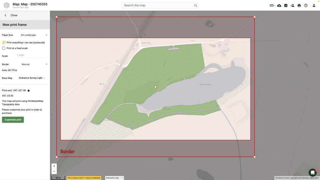
Printed maps at the click of a button.
- Free printing with OpenStreetMaps
- Pay as you go printing for an array of datasets and backdrops including Ordnance Survey and satellite imagery
- Download prints as PDF, JPEG or PNG
Free
Instant Plan Reports
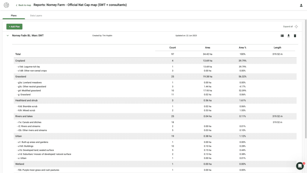
Get a summary of crucial data so that you can quickly identify:
- Area summaries of the various codes used on your map (Including BPS, CSS and UKHab)
Free
New Opportunities Workflows
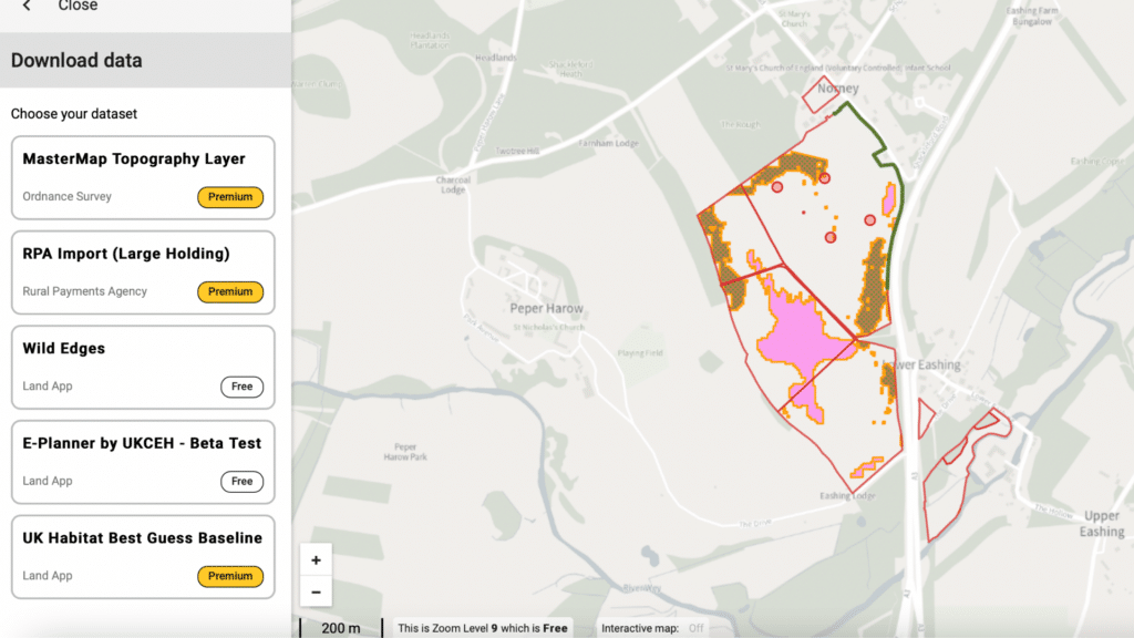
Land App is designed to help users identify potential opportunities for their land use, especially as natural capital funding options become more available. See whether your land qualifies using the below (SBI number required):
- UKCEH "E-Planner" data (woodland, wetland, wild bird seed and more)
- WildEdges
- England Woodland Creation Offer
Free
Free Help Guidance, Webinars and YouTube Tutorials
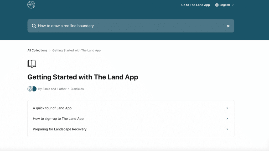
We want to help our users to get the most out of all Land App has to offer, so we offer a comprehensive array of written help guidance, tutorial videos and more.
- Unlimited access to the Land App Help Centre (Click here to visit)
- Video Tutorials on our YouTube channel (Click here to visit)
- Free Training Webinars run by Land App's team of experts
Free
Commercial Data Layers
We offer a variety of commercial data layers which can be purchased at any subscription level, and offer unrivalled clarity for land use and natural capital planning.
- UK Habitat Best Guess Baseline
- Ordnance Survey MasterMap Topography (Vector)
- Ordnance Survey 1:25 000 Scale Colour Raster
- Ordnance Survey 1:50 000 Scale Colour Raster
- Ordnance Survey OS VectorMap Local
Standard Functions
Our Standard Subscription takes your mapping up a gear. Building on the Free functions, Standard offers you an advanced, collaborative mapping system to engage your team and reduce costs – plus on-the-ground mapping with Land App Mobile.
Standard
Standard Data Layers
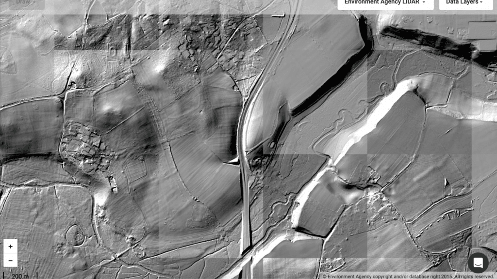
Access commercial data layers produced in partnership with government bodies,
- HM Land Registry (Corporate Ownership)
- LIDAR basemap
Standard
Instant Data Layer Reports
Get a summary of crucial data so that you can quickly identify:
- Context and priorities
- Landscape designations
- Conservation constraints
- Future opportunities
- Download as CSV

Standard
Real-time Collaboration
Collaborators can edit shared maps, live.
- See when another user is working on your map
- Changes automatically update for all users looking at the same map

Standard
Map of Maps
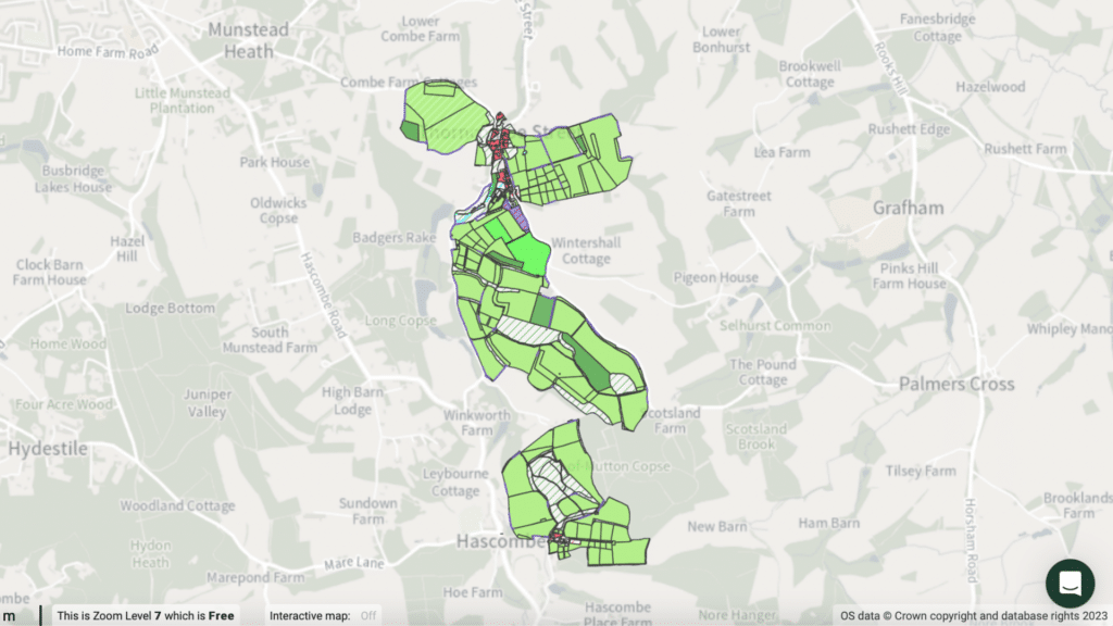
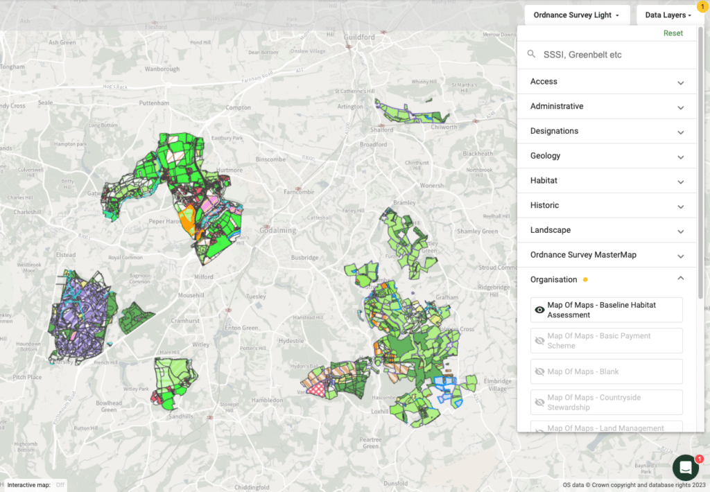
Live, collaborative mapping at the landscape scale. Map and analyse multiple holdings, farming clusters, suppliers or landscape recovery projects.
- Collaborate in real-time on baseline assessments and other projects
- Ensure you and your team are working from a single source of accurate truth
- Build Land Management Plans for a single holding or an entire community
- Invite advisors to edit and publish your baseline and Land Management Plans
Standard
Unlock new levels of detail with mobile mapping on the ground.
- Provide evidence for Biodiversity Net Gain plus Countryside Stewardship and Sustainable Farming Incentive
- Sync photos to desktop maps automatically
- Measure and Monitor to accurately carry out surveys and site visits
- Work anywhere with Offline Mode
- Survey templates for enhanced data collection and note taking
Standard
Ordnance Survey API Key
Make use of your OS API key to seamlessly unlock the power of OS data within the Land App platform. *For OS Partners Only
- Connect your Ordnance Survey API key
- Make the most of the OS Data Hub through Land App
Standard
Live Customer Support
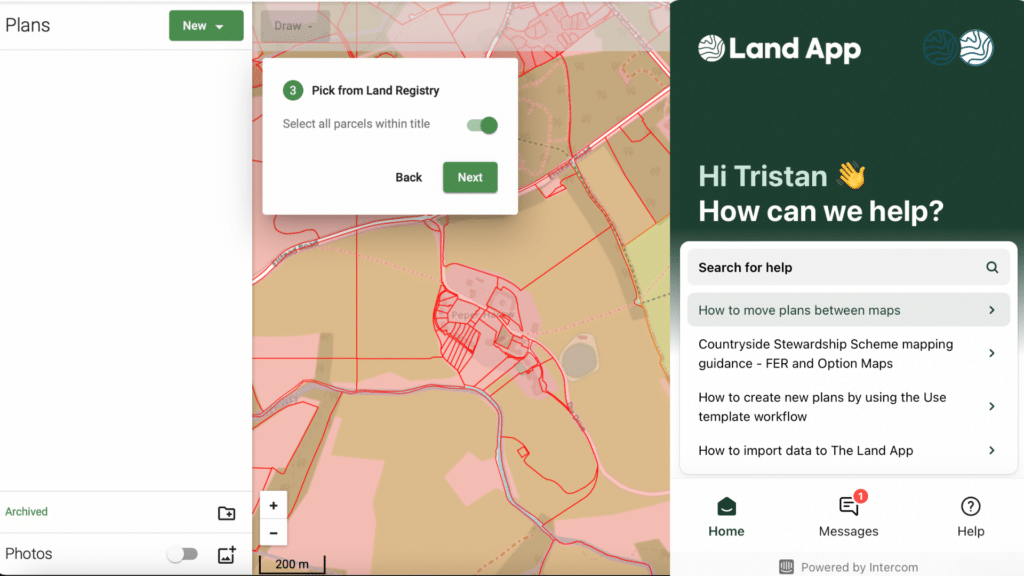
Get in touch with our team of mapping experts, ready to help you with your all your questions and issues, during working hours.
- Bespoke help from the Land App team
- In person support for specific queries that goes beyond the guidance
Standard
Enhanced Printing Functions
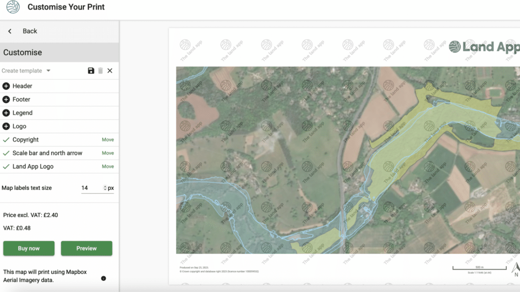
Enhanced print functionality for reducing costs and ensuring consistency across your team or company.
- 20% discounts on prints and data
- Share print extents with teammates
- Save print templates and styling (eg:consistent legends, captions and logos)
Professional Functions
Designed with professionals, for professionals. Our Professional Subscription gives insightful data analysis to guide strategy, unlock opportunities, and prepare for natural capital trading and landscape recovery. Understand BNG potential in minutes with our BNG toolkit, analyse your map data at the landscape scale with the Portfolio Summary, and connect Land App with third-party systems using our API.
Professional
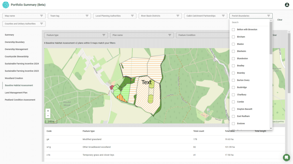
Portfolio Summary
Aggregate and analyse data at scale for unparalleled insight into land use and habitat
- View Map of Maps & summary tables for a variety of plan templates (Sustainable Farming Incentive, Countryside Stewardship, Baseline Habitat Assessment, and more), updated within minutes of a published plan being edited
- See total hectares for each plan template broken down by feature type, including payment totals where relevant
- Filter by key attributes: Map name, Plan Name, Team Tag, Feature Type
- Filter by key data layers: County, River Basin Catchment, CaBA Catchment, Parish, and Local Authority
Professional
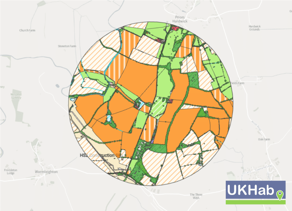
Biodiversity Net Gain Toolkit
End-to-end support for your BNG journey, from evaluating & estimating opportunities to preparing the statutory metric tool for submission.
- Biodiversity Net Gain Estimator using BNG Metric 4.0 and UKHab data
- Auto-populate the statutory metric tool from your plan data
- Plus, all Professional subscribers get 30% discount on UKHab Best Guess Baseline for a cost-effective initial evaluation of natural capital potential
Professional
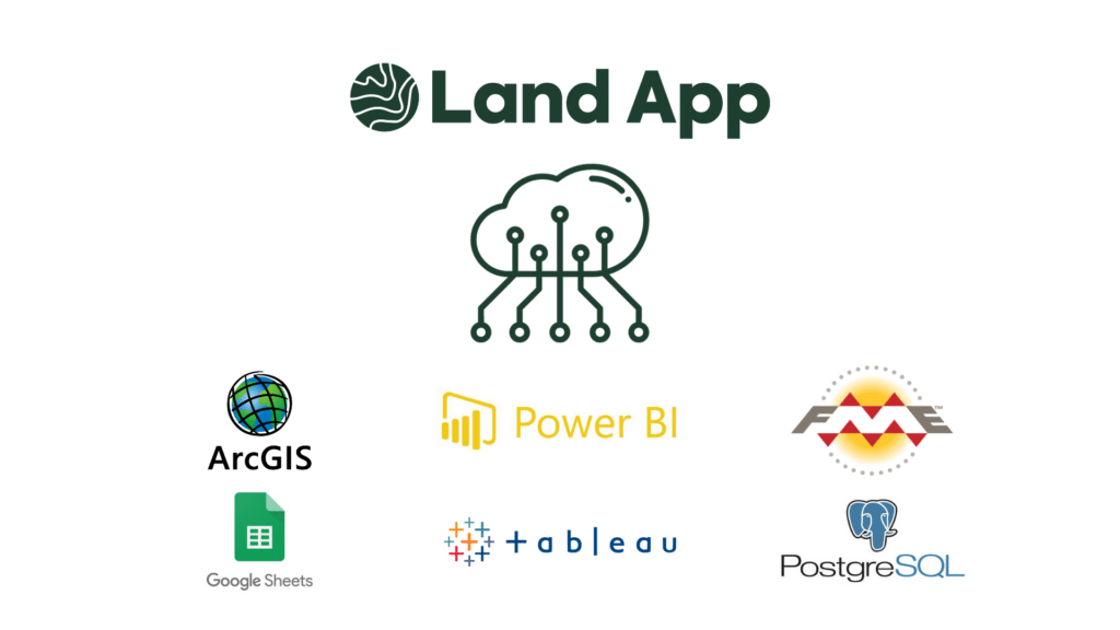
Integration API
Professional users can export live data from their organisational account to external third-party databases through our Integration API.
- Run data to third-party apps off Land App generated content
- Seamlessly share data with other software such as ArcGIS, Google Sheets and tableau
- Develop own data workflows and dashboards
Professional
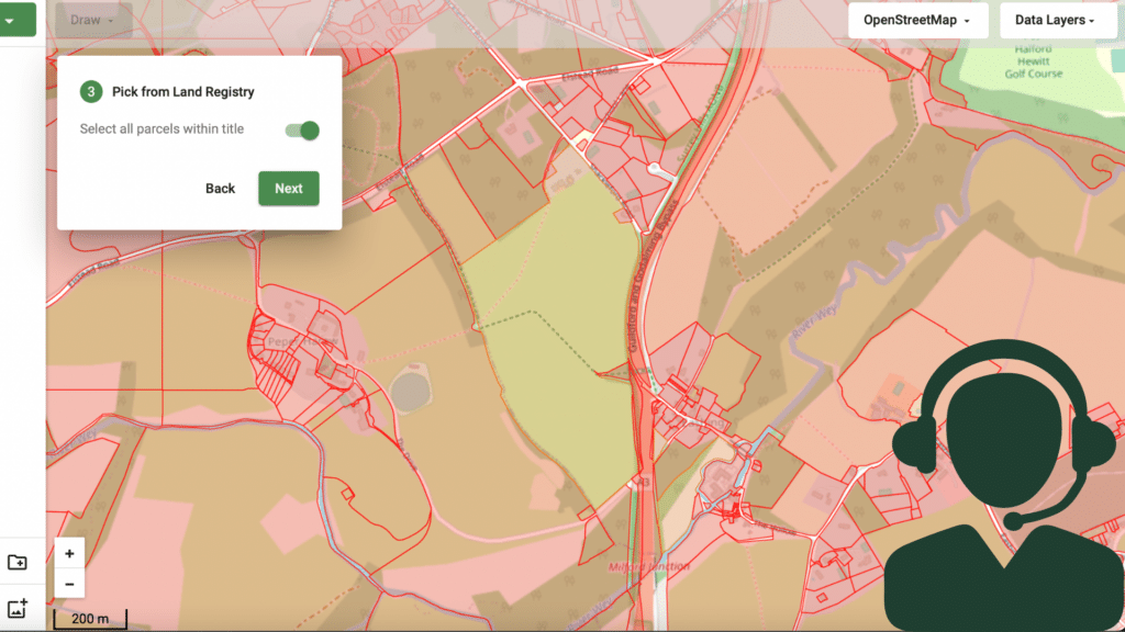
Dedicated Account Manager
We provide our Professional users with a dedicated account manager, meaning you always have a Land App team member on hand to ensure you get the most out of the platform and our services.
- Bespoke training for you and your team's needs
- Dedicated team member who stays with you through your Land App journey
Have additional questions?
Send us an email on support@thelandapp.com
