
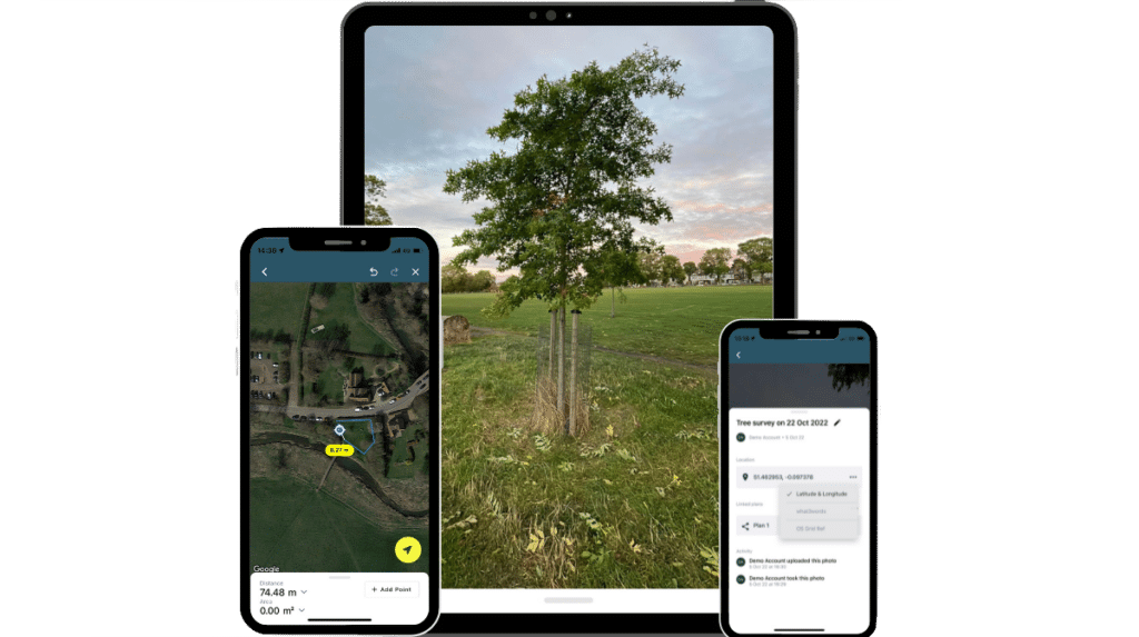
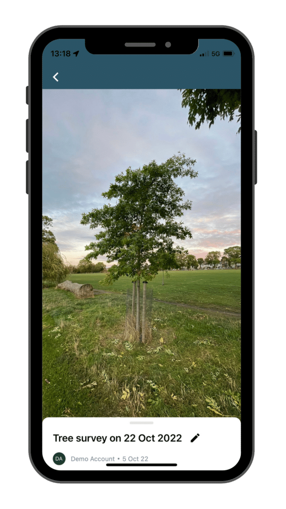
Evidence
- Take and upload photos directly to your desktop plans to increase efficiency and communicate real-world information to your team.
- Use our data collection and survey templates for greater accuracy – including drawing, measuring, note taking and data gathering.
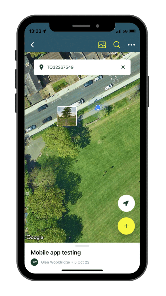
Locate
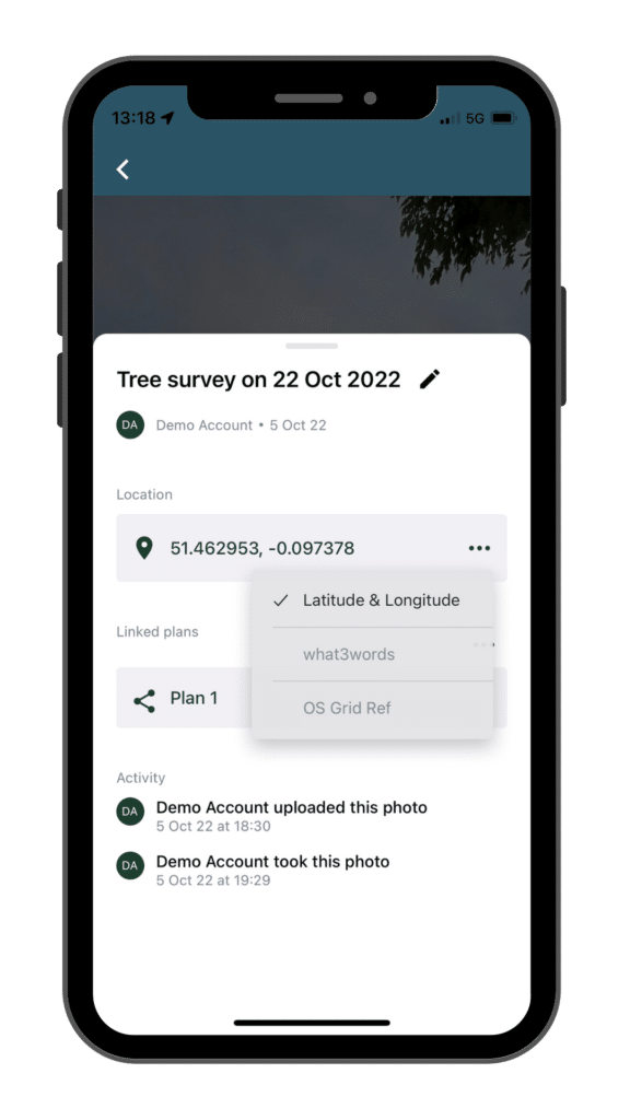
- Instantly access your GPS location for accurate measuring and mapping.
- Search by what3words, postcode or address to coordinate your plans, and your team.
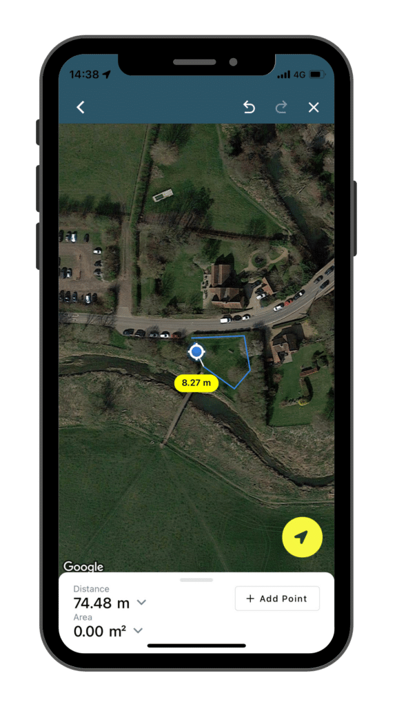
Measure
- Calculate and record accurate distances in real time.
- Measure polygons by perimeter and area on the go.
- Snap-to-GPS location to ensure accuracy and authority within your plans.
Share
- Access location details for each photo taken on the App to increase plan accuracy.
- Easily connect photos to plans on the desktop platform for seamless collaboration, and work anywhere with offline mode.
- Share photos with your colleagues to ensure that your team is kept in the loop.