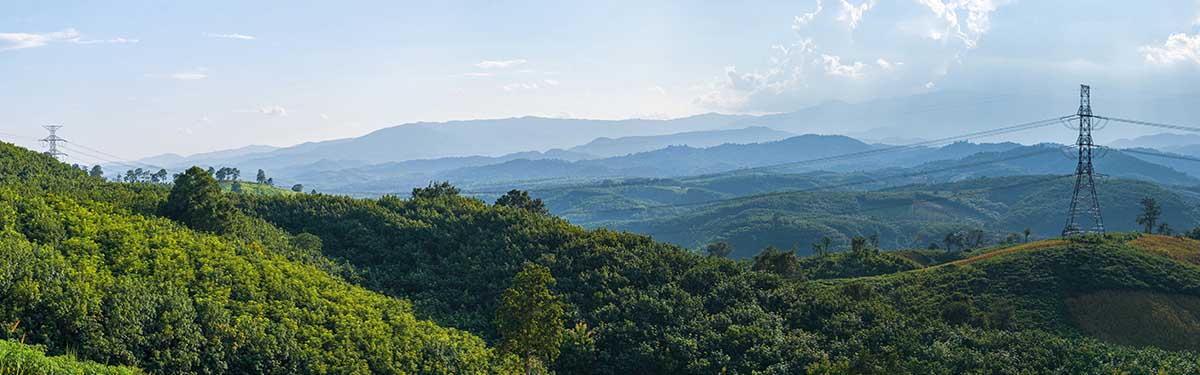
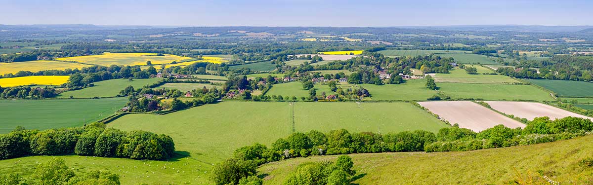
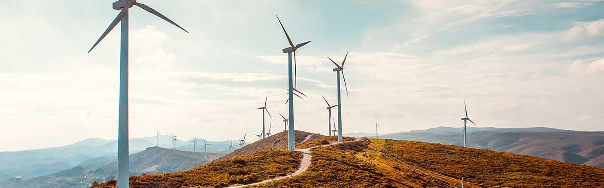
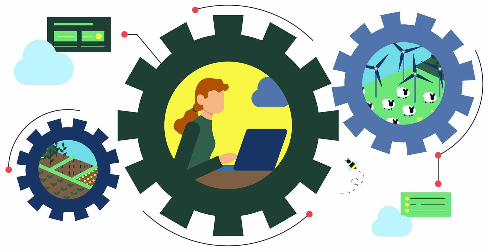
The Land App can help you to find the optimum location for your next sustainable development, from solar and wind farms to zero carbon transport networks and water recovery facilities.
Save time and costs with address lookup
Quickly access authoritative data
Streamline your workflow
Interact with data layers to make more informed decisions
Need to find historic landfill sites or avoid SSSI locations? Need to check your own attributes against Ordnance Survey or HM Land Registry data? Our interactive mapping software can get you exactly what you need.
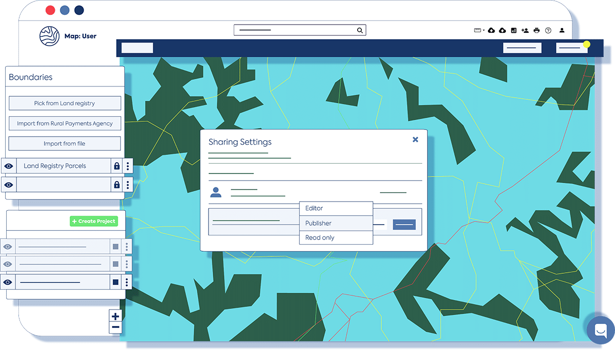
Log and manage all your sites
Our Map of Maps functionality also enables you to spatially conceptualise different layers of management across small or large areas. You can also import key data into a table view, run automatic calculations, and get the insight you need to maintain or use assets effectively.
Reimagine the state of the landscape
Flexible data editing also allows you to customise your maps and assign your own attributes in accordance with your future vision for a site. Crucially, the Land App enables you to design multiple scenarios of projects with easy access to authoritative data sets.
Collaborate with colleagues & partners
Get local governments, energy suppliers, ecologists and public bodies on the same page with the Land App. Our cloud-based map ensures you’re never working with outdated or conflicting data and makes it easy to visualise the best course of action.