Food Retailers and Supply Chains
Analyse land use, target nature recovery interventions and fulfil reporting obligations
Trusted by


A powerful digital mapping software used across the UK to analyse land use and supply chains, helping to build resilient systems which meet environmental reporting requirements
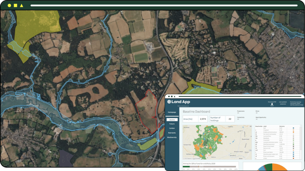
Land App is trusted by some of the leading food suppliers across the UK. From individual fields to the entire supply chain, our cutting edge mapping software enables environmental impact and land use to be precisely tracked, biodiversity and nature reporting data to be gathered, and solutions for agriculture, nature and water management to be designed at the landscape scale.
What are the benefits?
Get a clear view of risk and resilience across your supply chain
Co-ordinate your suppliers and analyse your biodiversity impact and scope 3 emissions, creating a granular, authoritative and interactive land use map of your organisation’s impact.
From instant biodiversity baselines, portfolio analysis to assess high impact zones (such as watercourses, peatland and priority habitat areas) and data aggregation to comply with key reporting requirements such as the Taskforce for Nature-related Financial Disclosures (TNFD), Land App clarifies the environmental impact of your supply chain.
From the individual field level to the whole supply chain, our combination of geospatial data layers, earth observation and machine learning modelling means you can unlock new understanding of your biodiversity impact and land use change.
Combined with our intuitive and collaborative mapping design tools, nature-based solutions can be designed at scale with suppliers to incorporate risk mitigation and build resilience into the core of your supply chain.
Prepare for replacement natural capital funding
Baseline biodiversity impact and design interventions
Aggregate data, including for TNFD and SBTN reporting
Assess options using a single authoritative source
Collaborate with suppliers in a cohesive way
Assess risk and resilience to prioritise areas of recovery
Be it natural capital trading, risk and resilience analysis, or prioritising biodiversity interventions across your supply chain, Land App’s unique and scalable data modelling approach enables an unrivalled, granular understanding of supply chains. Partnering with leading organisations, data providers and government bodies, we equip our users with the digital tools they need to navigate the agricultural transition and unlock a sustainable future at speed and scale.

pricing
Priced to meet your needs
Given the complexity and scale of the data requirements for supply chains and food retailers, each project is priced according to its unique features. To learn more and unlock unparalleled insight into your biodiversity, land-use and reporting demands, please get in touch with our partnerships and projects team below.
Have additional questions?
Send us an email on support@thelandapp.com
