Data Services
Bespoke data solutions for improved land management and ecological resilience
Behind the Land App, is a powerful data processing unit; “Land App Engine”. This has been built to digest data and generate powerful insights. Land App with Land App Engine is designed to help deliver nature recovery at scale, driving our growing user base towards best practice with the support of public funding schemes, and private investment.
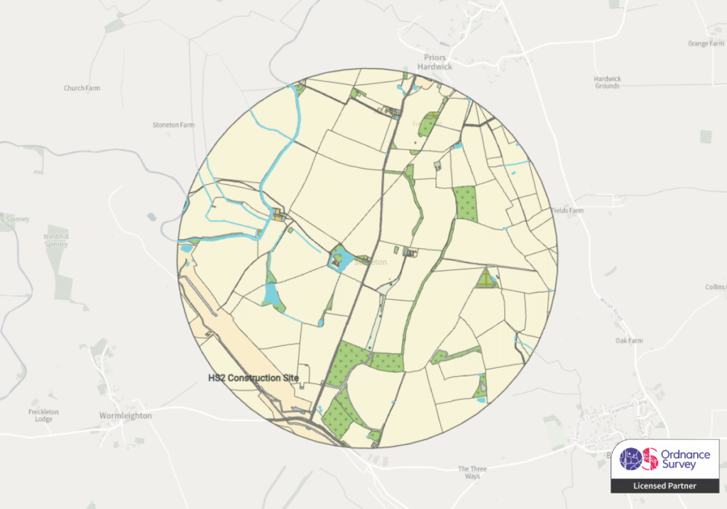
Ordnance Survey: Commercial Data Layers
We offer a variety of commercial data layers as an official partner of Ordnance Survey which can be purchased at any subscription level, and offer unrivalled clarity for land use and natural capital planning.
- Ordnance Survey MasterMap Topography (Vector)
- Ordnance Survey 1:25 000 Scale Colour Raster
- Ordnance Survey 1:50 000 Scale Colour Raster
- Ordnance Survey OS VectorMap Local
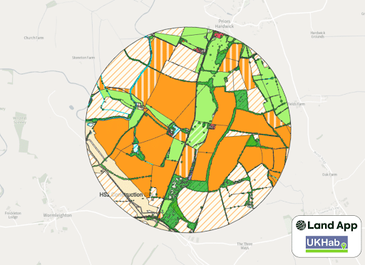
UKHabitat Best Guess Baseline
A template to instantly set up a habitat map for Biodiversity Net Gain (BNG)
- Underpinned by OS MasterMap
- Contains data from up to 12 other layers, including earth observation
- Perfect for Biodiversity Net Gain
- Rapid Assessments in the Language of UKHab, made in partnership with UKHab LTD
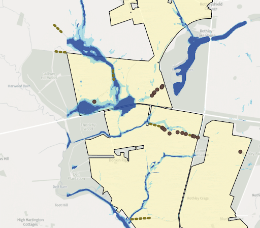
Wetlandscapes
Rapid risk assessment of field parcels on slopes, and in proximity to water courses.
- Identifies key locations for wetland features, runoff attenuation, or cross-slope interventions.
- Includes identification of straightened channels for re-meandering.
- Identifies soil types that help infer what water management should be
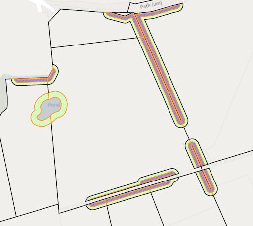
Wild Edges
An algorithm for highlighting where hedgerows could be improved and habitat networks restored.
- Identifies hedgerow gaps
- Highlights opportunities for widening existing networks
- Shows potential for creating new edge habitats
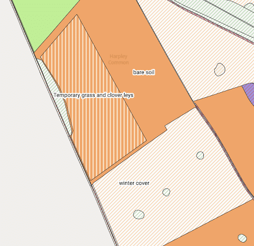
Cover Crop Locator
Identifies which arable field parcels have green cover through November to January
- Detects which arable fields are using cover crops
- Allows you to identify where there are high risk fields in high risk areas
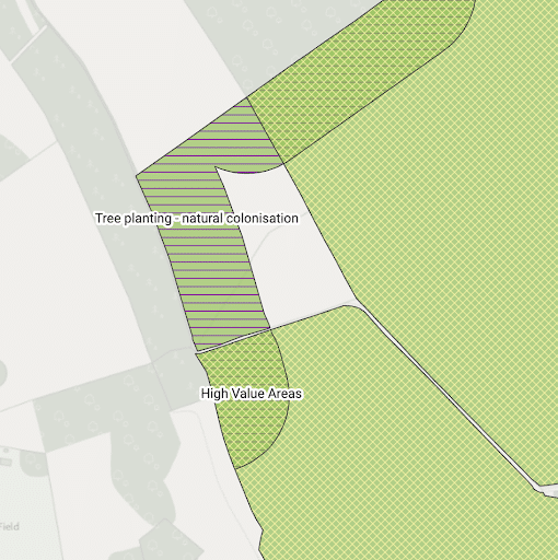
England Woodland Creation Offer Checker
Template in partnership with the Forestry Commission to support with applications for the England Woodland Creation Offer
- Allows users to quickly understand areas of eligibility for woodland planting
- Highlights areas where natural colonisation can be applied for
- Identifies which blocks of woodland are highest value, according to the Forestry Commission
- Shares the carbon value associated with woodland blocks, using a 100 year forecasat
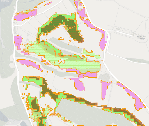
E-Planner by UKCEH
Created by the UK Centre for Ecology and Hydrology to identify where best to create habitats of local and national importance
- Uses environmental datasets to build maps of the relative suitability of land for different environmental opportunities
- Highlights associated potential management actions for opportunities
- Creates straightforward heat maps to easily compare opportunities and locations
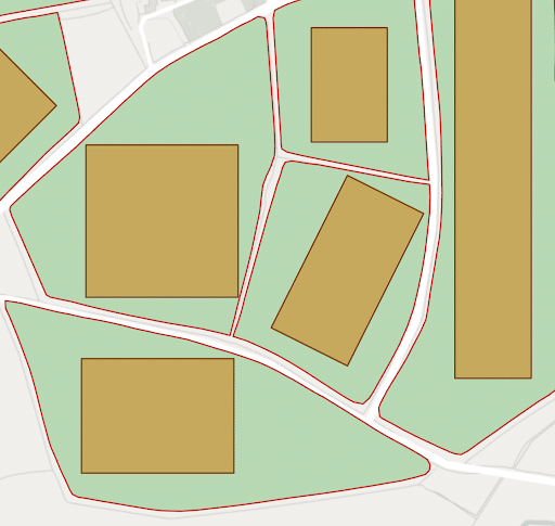
Efficient Arable Rectangles
A bespoke algorithm using machine learning to support field planning
- Quickly identifies the optimal area to crop in a field
- Detects best orientation and tram lines
- Highlights which field areas could be put into schemes such as Countryside Stewardship or BNG
Have additional questions?
Send us an email on support@thelandapp.com
