
Building a Network
Rewilding Britain is regularly approached by land owners or groups of various sizes, all seeking to contribute to the Rewilding effort. One of the first, and most important, steps is to put these people in conversation with one another; integrating them into the “Rewilding Network”. Here, ideas can be exchanged and plans can be shared, mapped out on the “Map of Maps” feature on Land App. Rather than simply seeing their own habitat assessment and land management plan for the future, users on the Rewilding Network map will be able to see other projects evolving nearby, and explore how they can work in harmony to encourage and enhance each other’s aspirations for natural revival. By considering the land at scale, transcending borders to instead thinking of the landscape as a whole, positive change can be maximised. Sara King, Rewilding Manager, explained the strategic value this mapping system provides, allowing them instantly to know who’s nearby and the landscape initiatives that can be carried out. Map of Maps can show “where projects are, the area of land that’s covered and habitat types to name a few: all of which are invaluable data sets to build an accurate, detailed and reliable digital composition of the landscape and its ecosystems”. The result is larger, more in-depth data sets which are accessible and centralised, ultimately allowing for greater landscape comprehension.
Understanding the Land
Gaining such a detailed understanding is imperative, Sara says. The ability to access valuable data in one place allows the land to be assessed for its full potential. Seeing which areas fall within a Buglife ‘B-line’, a SSSI or a priority habitat area means “we can read the landscape and decide where to put things in place”. Having access to such a centralised data set means strategic decisions for the future can be made quickly and intuitively. As Sara put it, “information from the Land App is a great starting point, especially in deciding the suitability of certain locations. Where some areas would clearly benefit from rewilding, it also helps to demonstrate less suitable areas, such as high productivity farmland”. Moreover, once key decisions have been made, the impact of these projects can be analysed and monitored. Land App allows not only insight into specific data sets, but it starts to build a picture of different types of rewilding, how they function, and ultimately how they interact across the landscape.
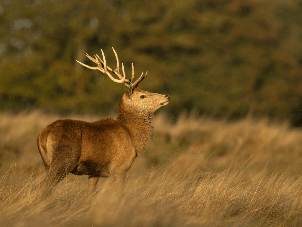
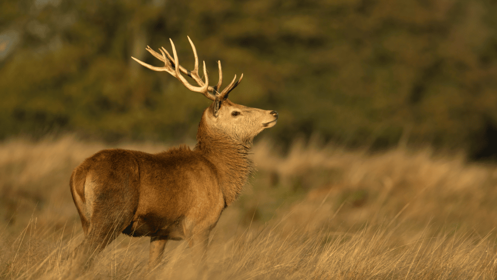
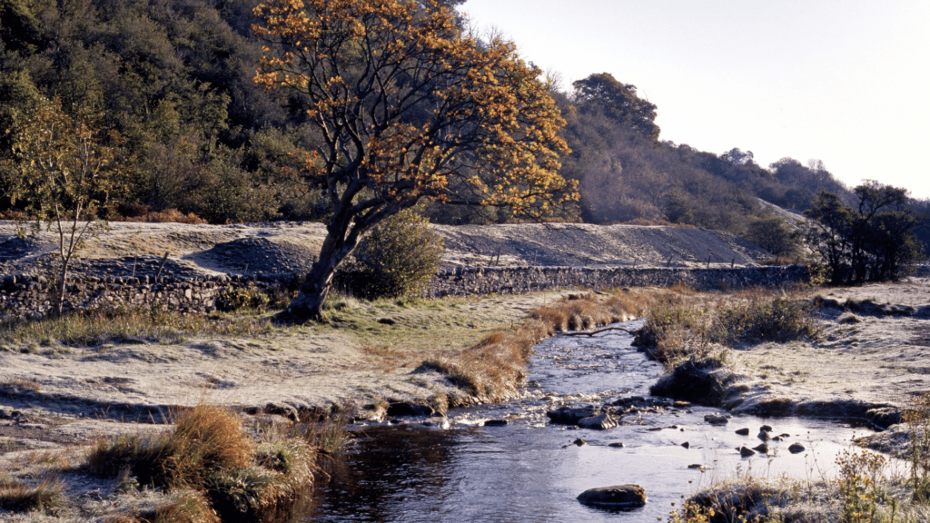
The team at Rewilding Britain go a step further, too, thinking not just about the land itself, but the species that inhabit it. Assessing where rivers can be “re-meandered” if they were artificially straightened, as much involves landscape planning as it does establishing suitability for species reintroduction, such as beavers which help to manage those water systems. These considerations vary from identifying locations for extensive grazing, to finding spots for humans to explore. Rewilding involves thinking about all those who are on the land, whilst protecting and restoring the environment around us.
Lifting the Landscape
Ultimately, the range of detail that can be produced on Land App, both at an individual and holistic level, all contributes toward a common goal; lifting the landscape. Thinking about the bigger picture enables different land uses to achieve greater synchronicity. After all, not all areas of land are suitable for rewilding – agriculture, too, has an important part to play. The ability to collaborate and analyse at the landscape level means Land App can help bridge the gap between rewilded areas and farmland. As Sara points out, “ultimately, working at landscape scale means bringing the two closer together”. Building a blueprint of this interconnectivity demonstrates how we can have rewilded areas that are linked by “mosaics” of nature friendly farming. Such plans demonstrate that food production areas can thrive, especially when “mapping relatively small uplift changes which drastically improve connectivity and biodiversity, both within and between these rewilded areas”.
Land App provides the perfect example of how we need to understand the land around us; how we are just one piece within a much broader, highly sophisticated and interconnected puzzle. From individual plans for single parcels of land, to assessing the future of whole estates, working out how best to achieve uplift and biodiversity is a great step in the right direction. But when aggregated together, through the Rewilding Network, this overarching map of large swathes of land can be analysed, understood, but most importantly, uplifted and restored on the ground.
Land has, historically, always found claim to many different uses, and this will no doubt continue. But the way the Rewilding Britain team use Land App begins to show how all of these claims can function together, in communication, and crucially, whilst still protecting and restoring the natural environment that underpins everything we do.
If you are interested in joining The Rewilding Network, click here.
If you would like to know more about using the Land App for similar projects, click here or email our Head of Innovation, Dan at dan@thelandapp.com.
