
What is What3words?
What3words, a simple tool used to identify precise locations, has now been added to the Land App for our Professional users.
What3words has divided the entire world into 3x3m squares, each with a simple and unique three-word reference that will never change.
Empowered by this integration, you can now find, share and navigate to precise UK locations using three simple words on the Land App.
Have you been sent a What3words address?
Enter the address into our basemap search bar to instantly identify its location. Read our How to search a map guidance to find out more!
Do you want to identify the location of a mapped feature on the Land App?
Access the What3words address for every feature you add to your plan by instantly clicking the features “coordinates” button. Find out how to get feature coordinates here!
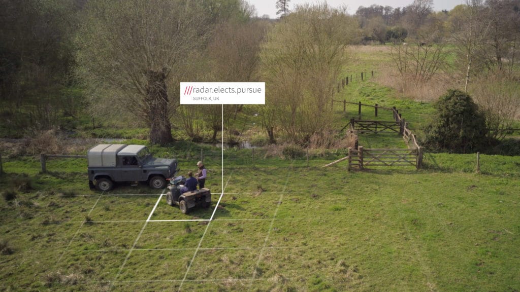
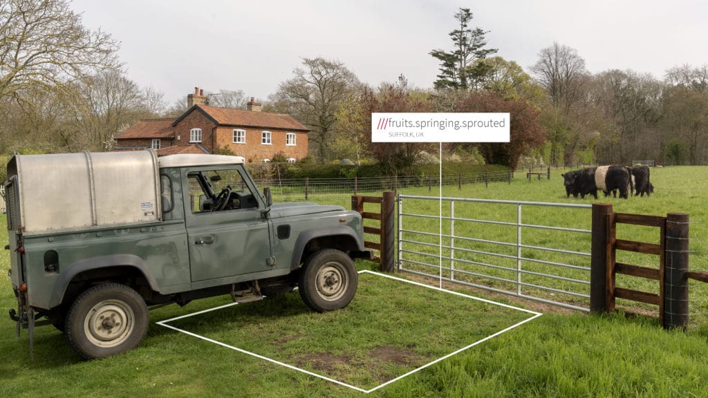
Are you ready to put your Land App plans into action?
Generate your What3word addresses on the Land App so that you can pinpoint intervention sites for when you’re out in the field.
Once you’re out in the field, take a photo and upload it as evidence to your Land App map.
Keep us in the loop!
Are you using What3words on Land App? How will this integration benefit you? Let us know by contacting support@thelandapp.com as we’d love to share your Land App story and spread the What3word.
Happy Mapping!
Team Land App
