
The Geospatial Commission’s latest report, released today, states that “there is a growing need for decision support tools which help landowners, land managers and local communities understand the opportunities for multifunctional land use”.
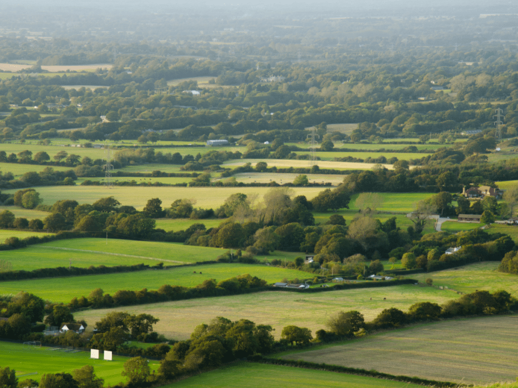
The government has committed to publishing its Land Use Framework in 2023, to formally co-ordinate the ever-growing (and often competing) claims to land use across the UK. From agriculture to nature restoration to green energy, how we allocate finite resources, whilst protecting and enhancing the natural environment, has never been more complex, or more challenging. As a result, the Geospatial Commission’s report “Finding Common Ground: Integrating data, science and innovation for better use of land”, released today, represents an important step in recognising the issues faced in this area, and how to address them.
The report sets out that robust data and technology is imperative, and continued innovation essential; “The UK lacks a shared, spatially-explicit, evidence base that integrates data, technology and scientific knowledge to underpin land use decisions.”, it states. Of the six main priorities for land use named (Energy, Housing, Biodiversity, Food, Water, Transport) three principally apply to our work at Land App. These are:
- Halting biodiversity decline: According to the Environmental Improvement Plan, 30% of the UK’s land will need to be protected and as the report establishes – “Understanding the biodiversity baseline and monitoring change will be crucial in delivering this”.
- Food production: Retaining food security is essential for any country, and the UK is no exception. In this case “better use of data can help to identify the most productive agricultural land, opportunities for multifunctional benefits and less productive land which could be freed up to meet other needs”.
- Water security: Managing water resources is essential for present and future resilience, meaning that “enhancing water quality and quantity needs to be integrated into land use decisions”.
All of these priorities demonstrate that having an accurate, spatial understanding of existing baselines of land use, and the ability to compare these to future scenarios, is essential for any future decision making. Moreover, digital tools are needed to make sure that this information is presented in an accessible way to a variety of stakeholders; especially farmers, estates and land managers who inform much of the way land is used across the UK. Given that ecological restoration and resilience is tied to funding (both public and private) through schemes such as Environmental Land Management (ELMs) and Biodiversity Net Gain (BNG), equipping land managers with the tools to assess a future option that is beneficial both financially and ecologically – whilst complying with local and national land use demands – is essential.
As the report establishes, “Land Use is an inherently spatial challenge”. This is precisely the challenge that Land App is driven to help solve. We are pleased to be included in this report as a case study (p44), given our focus on providing landowners and land managers with the tools to make the best land use decisions through technology. From individual farm fields to whole supply chains, we are driven to help people appraise their current land usage and plan for the future in the most ecological and financially resilient manner possible. Our platform brings together a range of data, maps and tools, which currently helps over 17,000 landowners, farmers and advisors (covering over 8 million hectares) to appraise and drive revenue, apply for government grants or prepare for natural capital markets with compliance in mind.
The Geospatial Commission points out that “to get the best value from land we need to have good quality data and information that describes its current use and the ability to apply analysis to determine potential future uses and their impacts.” We will work to ensure that Land App continues to empower those who manage land to navigate the agricultural transition as best as possible.
