
As perhaps one of the most well-known organic food suppliers, Riverford has a hard-earned reputation for leading the way in organic farming and championing the natural environment that our food systems rely on. As both a B-Corp and owned by its employees, both people and planet lie at the heart of producing their iconic veg boxes. Growing food of great quality at scale can be complex, though, with a variety of individual farms across the UK forming their “supply chain”.
Riverford has always had good relations with its suppliers, Harriet tells us, which as certified organic farms, work within the natural environment. Nonetheless, they are looking to go a step further. As land managers start to think in broader terms of nature recovery at the landscape scale, and government schemes promoting soil health and biodiversity begin to take effect, the drive to improve “Scope 3 Emissions” is all the more pressing. This means there is a greater need to understand the environmental impact from the individual field level on specific farms, to right across the supply chain. Improving biodiversity, soil carbon and introducing agroforestry are all key steps in ensuring this wide scale improvement can be achieved.
Sustainability and Supply Chains:
So where to start? Tackling scope 3 emissions begins with an essential metric – land use. Harriet’s key first question when approaching this complex process is to ask: “What is the total land use of our suppliers across the UK?”. In other words, “how much land do we influence?”. The aim here is for Riverford to establish the ‘baseline’ of their supply farms, going beyond just the three farms over which the business has direct control. As a result, not only can the biodiversity impact of the current system be understood, but plans to actively improve it can be made. Having a central platform to collate key data sets is essential for creating transparency. From crop types and land management plans, to uploading soil health assessments, these crucial data sets from each farm can be aggregated. As a result, a picture of the entire supply chain can be built up. “Having a complete understanding of our land use impact, monitoring improvement across farms over time and co-planning interventions”, Harriet explains, enable both Riverford and its suppliers to “change the landscape together”.
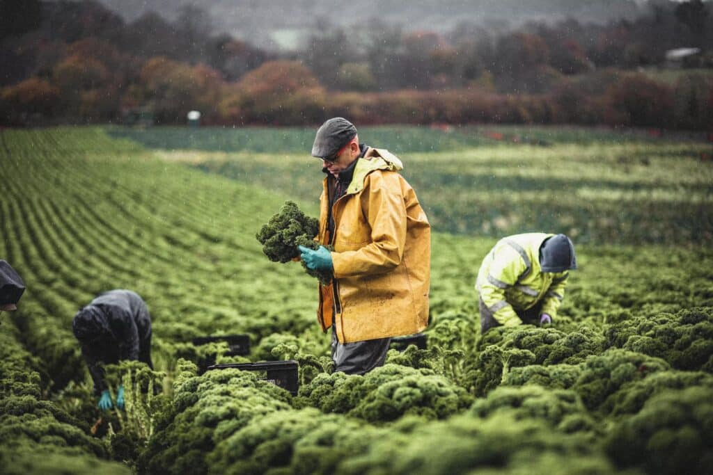
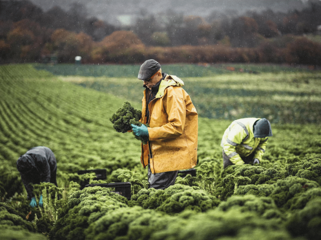
Riverford Curly Kale Picking © Riverford Organic Farmers Ltd.
Empowering Land Managers
Building this process begins from the ground up. Each farmer is able to log on to the land app platform and create a digital twin of their farm. Here, they can track and evidence progress and results, whilst collaborating with Riverford to achieve mutually desirable outcomes. Perhaps one of the biggest attractions of Land App is that it enables Harriet to co-design these interventions with the farmers themselves. “Empowerment and equality of access to information” will be of crucial importance as we transition to ELMs and more sustainable farming methods in general, Harriet emphasises. Ensuring that land managers come on a journey with us, and feel empowered throughout, is the ideal scenario for nature recovery. “Land App means we can create a map for both ourselves and our suppliers, providing a neutral platform where we can exchange information and ideas”. This collaboration becomes invaluable for sharing key data sets, such as soil health and compaction. Upon taking a microbiometer reading to assess the microbial biomass in soil, for example, Harriet is able to upload this to the map so everyone across the supply chain can access this information and see how things have changed over time. Having a two way exchange of information means an up to date, digital ecosystem which provides invaluable insight into the land.
Combining these individual maps using Land App’s Map of Maps tool means high level analysis can be undertaken with ease. This is where the dashboard – which aggregates landscape-wide data – becomes critical. Metrics such as woodland cover, countryside stewardship options and soil health mean key interventions can be identified. “It means we can start to see some headline figures that might be an issue for us” Harriet explains, “for example, woodland cover is quite low. This gives a target for our suppliers – meaning we can aspire to a healthy balance of growing veg and trees”. By looking at landscape level data, specific targets can be met whilst achieving the crucial balance between nature and food production, right across the country. Moreover, “it helps identify key areas, key habitats widely applicable for our supply chain that might become areas of focus”.
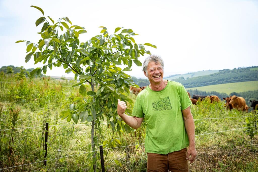
Riverford Founder Guy Singh-Watson © Riverford Organic Farmers Ltd.
Farming for the Future
Asked about what’s next for Riverford, Harriet told us about their desire to run trials which focus on reducing the negative impact of their cultivation, coupled with exploring greater integration of perennial planting. By retaining such ambition for redefining the way we farm with nature, and combining it with the latest data and mapping to maximise natural uplift, Riverford continues to break new ground. Working in partnership with Riverford, Land App will continue to build the capacity for monitoring and record keeping around biodiversity objectives. As a result, Harriet claims, “farmers can meaningfully see the transformation of their land”. Making supply chains resilient will be crucial for all food suppliers going forward in order to meet climate and biodiversity targets. Land App looks forward to continuing to support Riverford on their already impressive journey.
Interested to learn more about Riverford and their Organic Farming? Click here.
Want to discuss mapping your own supply chain with Land App? Get in touch with Dan Geerah, our Head of Growth at dan@thelandapp.com
