
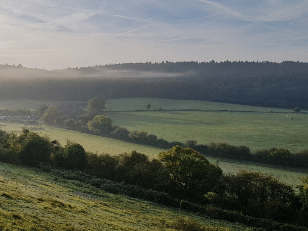
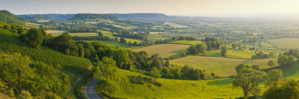
Harnessing the latest mapping techniques and cutting-edge data analysis tools is an important element of the work done by CLM, a land, business and property management consultancy based in the South East.
Land App products are helping CLM empower clients to protect and grow their income and assets, improve their quality of life, and create sustainable legacies, tailored to their business and personal aspirations.
Recently, Tom and Tristan from Land App enjoyed spending some time talking to CLM’s Land and Environment Consultants, Harrison Anton and Georgina Wallis, to find out how Land App has become part of their consultancy process as they support their diverse portfolio of rural clients.
From initial analysis to final funding deadlines, the Land App platform has been helping Harrison and Georgina this year to unlock the potential of farms, estates and rural business.
Unearthing potential:
“At CLM it is our job to help farmers and landowners take advantage of the opportunities that present themselves. This is more important than ever as the industry is changing so rapidly, so it’s vital for us to have a system enabling us to map plans, edit them as needed and come back to them as policies evolve.”
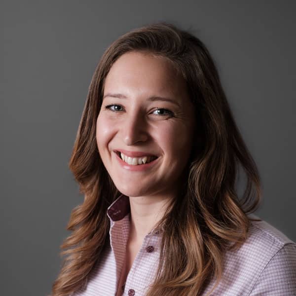
Georgina Wallis
At CLM, Land App is used to explore clients’ land in a range of ways. The platform provides “a great canvas upon which we can start to paint a picture of a specific piece of land or landscape”, according to Harrison. “Before we meet our clients in person, it’s important that we have a clear overview of the land and its features. Land App allows us to do that in a simple way, showing ownership boundaries, designations, habitats and more.”
For Harrison, this process starts by creating an ownership boundary on the platform. “If we have the clients’ SBI, we can use the Land App’s direct connection with the RPA to import our client’s land parcels with the click of a button. If not, we can navigate the Land App basemap, identify the correct Land Registry parcels, and convert them into an ownership boundary too.” This map is subsequently used to ground-truth the boundary and features when on site.
Once an ownership boundary has been defined, Georgina and Harrison will then make use of Land App’s Data Layer Library. By doing so, they are able to see what data sets intersect their client’s area of interest. Whether identifying SSSIs, habitat networks, public footpaths or flood zones, this process helps to add colour to the digital canvas.
Once the area in question has been analysed, the Land App maps are printed as PDFs and the consultants are ready to head out to farm.
On the kitchen table:
Once on the kitchen table, Land App plans will be used as a discussion point with the client.
“Having the maps present allows us to have a practical conversation with the landowner about the changes they’d like to see. We’re able to note these changes, and then update our maps accordingly with their suggestions. This process definitely speeds the job up and allows for multiple changes to be made to proposals.”
Georgina Wallis
One of the main uses that the Land App platform provides for CLM is the mapping and analysis of Countryside Stewardship applications and other agri-environmental schemes. Harrison and Georgina both use the Countryside Stewardship template offered on the Land App, which allows for the quick and accurate recording of client land options. Land App’s easy-to-use drawing tools enable buffer strips to be drawn, options to be auto-styled to parcels, and payment reports generated instantaneously. Once complete, Countryside Stewardship applications can be sent directly from Land App to the RPA, meaning that they do not have to be redrawn by hand.
If a face-to-face meeting is impossible with a client, Land App also offers a comprehensive range of collaboration features, allowing users to view and edit maps together in real-time. This ability to construct plans collaboratively online ultimately leads to more nuanced and detailed maps, in less time.
Back in the office:
Once client feedback has been discussed, Harrison and Georgina will then return to the office and make any necessary changes on Land App. “Rather than having to start from scratch by hand again, it is easy to make additions and updates to our plans,” says Harrison. “For us this is invaluable. It’s also good to have everything in one place so that when you come to review a specific plan, it’s all digitally accounted for and evidenced.”
At this stage, different Stewardship scheme options can be weighed up, discussed and even directly compared in terms of how much land will be managed, and how the differing payment rates and proposals stack up. This ensures that CLM is getting the best possible return for the client. Harrison notes that Land App makes it easy to “portray the value of alternate schemes to clients.
“At the moment, Land App works really well for us with the agri-environmental schemes currently available, but we’re also aware of its value as a platform as we go forward into the next few years.”
Harrison Anton
Into the future:
Reflecting on the future of the land management sector, Georgina says: “It’s a very uncertain and turbulent time for our clients and, at the moment, it’s hard to be specific about future funding and schemes, so we have to make sure that we’re prepared for multiple eventualities.”
“What we like about Land App is that it’s very forward-thinking. Whether it’s a template for the upcoming Sustainable Farming Incentive scheme, or creating habitat assessments for Biodiversity Net Gain, we’re confident that Land App will help us deliver value to our clients into the future.”
Harrison Anton
As we continue to support CLM, we are excited to see how they will utilise our platform to deliver meaningful change to rural holdings, communities and landscapes in line with their values.
Farm & Environment Consultant – LinkedIn found here.

Farm & Environment Consultant – LinkedIn found here.
