
The Farming & Wildlife Advisory Group SouthWest (FWAG SW) is a registered charity that, for over 50 years, has represented farmers and landowners in the delivery of wildlife conservation from Gloucestershire to Cornwall. Founded by farmers, FWAG SW is uniquely positioned to provide advice and support to the farming community due to its long-standing agricultural associations and roots.
FWAG SW’s ethos combines an understanding of farming systems, land management and farm businesses with habitat creation, habitat management and species conservation to effect landscape uplift on both a field and regional level.
In this case study, I caught up with Oliver Maskrey, who joined FWAG SW as a GIS and Advisory Support Officer in 2020 to provide mapping assistance across the region. Since then, Oliver has gone on to assist with farm advice and support, specifically in the Devon region.
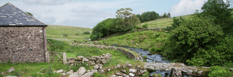
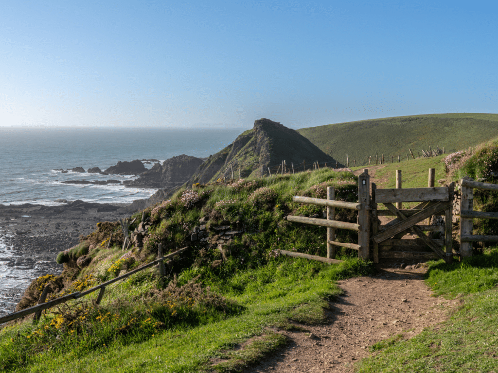
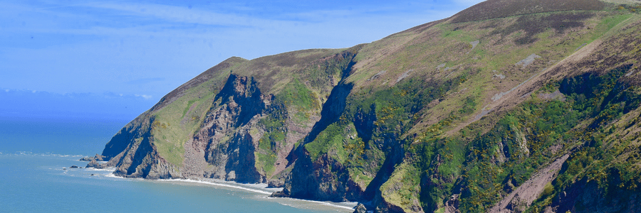
Understanding the Landscape of Devon
Oliver explains that he uses Land App primarily to map his clients’ Countryside Stewardship. In 2021 alone, FWAG SW were responsible for the completion of 159 CS applications, which together, underpin funding for 22,866 hectares of land.
“When I start working on a new Countryside Stewardship application, it is absolutely vital to have a solid understanding of the area you’re working within. With these applications, FWAG SW are aiming to secure funding based on the cultural, environmental and agricultural requirements of that holding”. Using the platform, Oliver can quickly gather and review insights into the area in question with Land App’s Data Layer and Basemap Libraries.
“Being able to change from a satellite basemap, to the Ordnance Survey basemaps with just one click is really useful” explains Oliver. He continues; “It’s also easy to turn on a selection of Data Layers such as Natural England’s Priority Habitat data, SSSI’s and Nitrate Vulnerable Zones. I also use the terrain contour layer quite a lot to give me an idea of the farm’s geography without being there in person.”
By simply uploading an SBI number to Land App, Oliver automatically receives a portfolio of information relating to his clients holding. “Seeing what the RPA know already, with specific reference to hedgerow and boundary data – and having editable access to this information – saves me a lot of time.
“It enables me to begin to build up a picture of what Stewardship options might work best for a particular farm, even before I’ve been”.
Countryside Stewardship
Initial analysis completed, Oliver will visit the holding in question and then begin to map up a Countryside Stewardship plan using the pre-formatted Land App template.
“The templates available on Land App make the planning phase so much easier, you can mock something up, share it with the Land owner, and make any changes needed with just a few clicks”
This live planning process on the platform is made intuitive with simple drawing tools to merge or split parcels, ‘one-click input’ scheme options which automatically style the selected land parcel, and collaboration functionality to enable co-authorship.
Oliver also explains that Land App automations such as Wild Edges, available for free on the platform, help to give an indication of linear stewardship options. Using an SBI, Land App makes instant recommendations of where hedgerows could be added or where watercourses could be buffered — both with the aim of increasing farm-level habitat connectivity. “We can then copy the chosen features across from the Wild Edges plan into the Stewardship plan, which is very useful for the application.”
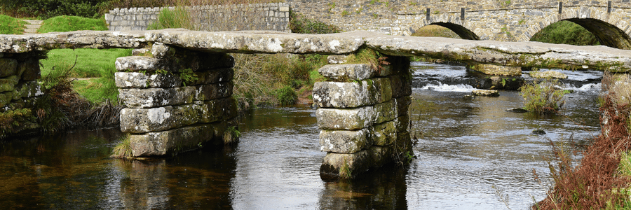
Restoring Devon’s Traditional Buildings
The rich and distinctive nature of Devon’s historic environment is apparent, not just across its natural landscape, but in its buildings, monuments and settlements that can be found dotted between its hills. From Iron Age forts, to Roman roads, Medieval barns to Middle Age burial sites, Devon stands a living testament to British history.
However, Devon’s historical buildings do not just represent times past, they also play an integral role within the contemporary Devon landscape. Many of these timeless buildings are present across small holdings, farms and estates and securing funding for their upkeep and restoration is vital. Oliver explains that FWAG SW are “committed to securing reliable funding streams for these sites”, primarily through the Historic Environment options available within the Countryside Stewardship scheme.
Oliver notes that government funding linked to option codes such as HS1 — allocated for the maintenance of historic farm buildings — “can be a much valued source of income” for land owners looking to conserve the cultural heritage of their holdings.
However, for some holdings, the RPA data for yards and buildings are often left unregistered. This makes it impossible to assign CS codes to areas that, according to the RPA, are not recognised. Oliver explains the value of being able to quickly create a RLE1 form through Land App. This can be done by adding additional parcels to plans using the easily accessible Land Registry data or OS MasterMap layers available. Once sent and accepted, the RPA will update landowners’ SBI cover to more accurately reflect their up-to-date land area.
Oliver explains that “being able to complete an RLE1 form on Land App makes it easy to map, track and update changes to a farm’s boundary”. Once up to date, Oliver is able to add Historic Environment options to his clients holdings using Land App’s Countryside Stewardship template.
The platform also has a range of Historic England data layers such as Scheduled Moments, Listed Buildings and Registered Battlefields for further site exploration.
Get Involved
FWAG SWs’ knowledge and support when it comes to farming advice is becoming ever more important as we enter a decade of agricultural transition. FWAG SW has a wealth of experience in the range of grants on offer and their suitability for your farm business. They also offer services to prepare and submit an application on a farmers behalf and help with the evidence and record keeping requirements.
To find out more about FWAG SW and get in touch with them visit: https://www.fwagsw.org.uk/
You can also sign up for free on the Land App and start to unlock insights into your holding. Find out more at www.thelandapp.com or email support@thelandapp.com for questions or inquiries.
