
What Are Habitat Assessments?
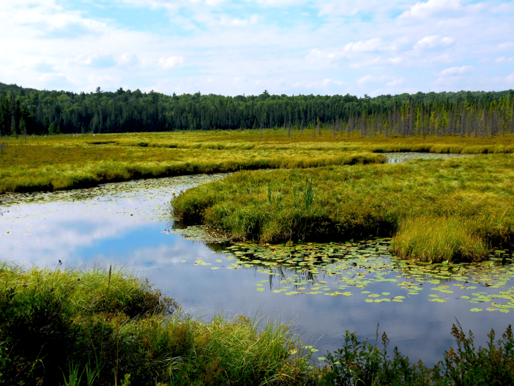
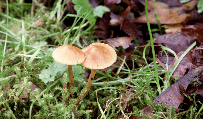
Habitat assessments serve as a means of understanding an ecosystem or area of land through mapping and quantifiable measurements. They aim to provide a systematic review of the state of nature on the ground, delving into the specifics of the environment – from identifying and classifying habitats to conducting species inventories, assessing conditions, and creating invaluable habitat maps. Whilst ecologists have long made use of them, they are becoming increasingly important as all sectors who work on or with the land are encouraged to make more sustainable decisions. The data collected acts as the “baseline” of information, allowing the impact of future decisions and habitat changes to be calculated and accounted for.
Who Conducts Habitat Assessments?
Habitat assessments are typically conducted by trained ecologists, environmental consultants, conservation organisations, government agencies, and researchers from universities or research institutions. These professionals have expertise in ecology and related fields, enabling them to assess the ecological health of specific areas.
Why They Matter
Habitat assessments are playing an ever more important role in UK land management and ecology. By evaluating biodiversity, ecosystem health, and factors such as soil quality, these assessments can inform sustainable land use practices. By assessing a habitat and understanding the state of nature before projects start we can measure the progress of projects and (ideally) the positive progress we are making towards nature recovery. The data guides conservation planning efforts, ensuring compliance with national and international policies, including initiatives like Biodiversity Net Gain. Crucially, they can contribute to climate change adaptation strategies, help in effective habitat restoration, and play a vital role in understanding the significance of preserving natural habitats. They are key tools for informed decision-making, as well as ensuring accuracy in project planning and regulatory compliance. Full biodiversity counts can prove time-consuming and expensive; many schemes, such as BNG, are using Habitat Assessments as a proxy for the species that could be contained. Despite this, there is still a huge need in the sector for good-quality biodiversity data to support the validation of habitat-based schemes.
Start Your Habitat Assessment Journey Today
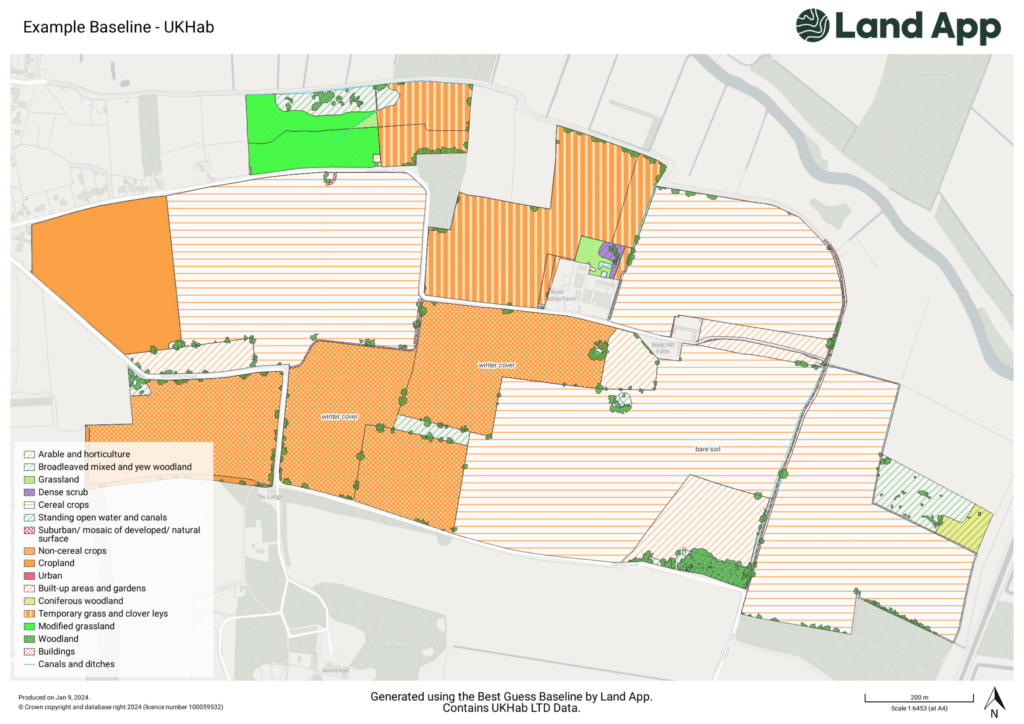
Digital habitat assessments, exemplified by Land App’s partnership with the UK Habitat Classification (by UKHab Ltd), bring efficiency and accuracy to ecological evaluations. Through standardised data collection and spatial mapping, these assessments enhance the accuracy, speed, and visualisation of habitat distribution. Land App offers an array of tools and templates that make it the go-to choice for digital habitat assessments across the land management sector.
Find out how digital mapping supported the Wendling Beck Environment Project with their assessments, here.
Ready to start your own habitat assessment? Get your free Land App account now.
Got further questions? Feel free to get in touch at support@thelandapp.com, where our team will be happy to help.
